October 5, 2004
| HIKERS – John Hires, Jack Jacobi, Wayne Miller, Bob Presley, Tony Presley, Doug Russell, Jack Slaton, and Bob Thompson .
TRAIL INFO. – Today’s hike was on the Foothills Trail near the SC / NC border. The hike began near the community of Rocky Bottoms, SC at the intersection of Hwy. 178 and Laurel Valley Rd. From here, we hiked up to the summit of Sassafras Mountain (the highest peak in South Carolina 3554 ft.) Total hike today 10.5 miles. Difficulty – We rank this hike as fairly strenuous due to the elevation change. Net elevation change between Laurel Valley and Sassafras is approximately 2,000 ft. The trail is in excellent shape as of today. (10-5-04) Directions: From HWY 11 north of the Tamassee area and northward past the Lake Keowee bridge and continue on Hwy 11 north to the blinking red light. Turn left at this intersection (Hwy 178) and drive just past the Rocky Bottoms community to the bridge over Eastatoe Creek. Turn left at the bridge (Laurel Valley Rd.) and park here. The Foothills Trail section to Sassafras Mtn. starts on the other side of the highway bridge. Another great day for a hike! Fair with Temps in the low 60’s to mid 70’s F. FLORA IN BLOOM: Asters, Mountain Gentian, Goldenrod, White Snakeroot, Tall Lobelia, and Lady’s Thumb . FAUNA: Birds Identified- Tohee, Pileated Woodpecker, Carolina Wren, Blue Jay, American Crow and Barred Owl. |
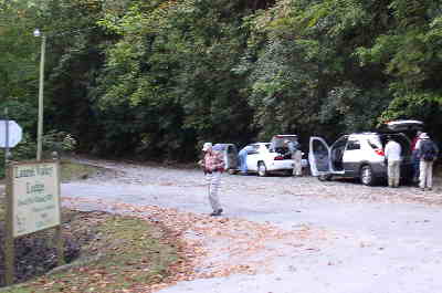 We parked at the intersection of Hwy 178 and Laurel Valley Rd. |
 Our parking spot was next to the Eastatoe Creek Bridge. |
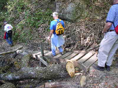
 The Foothills Trail had lots of damage from the Hurricanes a few weeks earlier but the trail maintenance crews have done a remarkable job of cleaning up the trail and it was in great shape! |
 One of the nice Foothills Trail signs. |
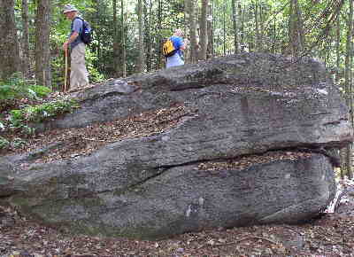 About 4 miles into the hike, we explore famous Bucket Rock! |
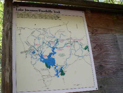
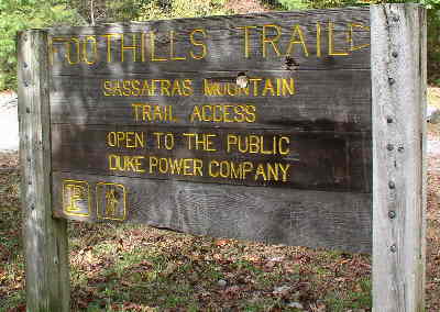 Near the top of Sassafras Mountain, we view this sign at the parking lot. |
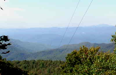 Due to tree growth, the views are somewhat restricted at the summit but we have a good view from the power line cut. |
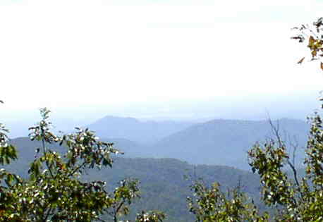 One other nice view on our way back down the trail to Laurel Valley. |
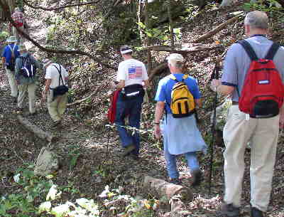
 Here you can see how the trail crews have done a great job of clean-up after the storms.. |
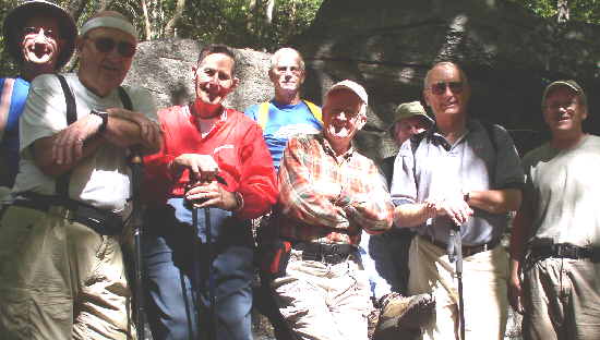 The OFHC gang for today’s hike. (l-r) Wayne Miller, Doug Russell, Bob Thompson, Jack Slaton, Bob Presley, John Hires, Jack Jacobi, and Tony Presley. |