November 2, 2004
| HIKERS – Jack Jacobi and Bob Thompson .
TRAIL INFO. – On this election day, most of our hikers were working as poll officers for the election and missed the hike. However, two of our dedicated hikers hit the trail for a nice hike on the Bartram Trail. Parking on Hale Ridge Road at the trail crossing, they hiked up to Rabun Bald for lunch on the observation deck and returned for a total of 8.4 miles. The trail is considered mostly moderate in difficulty with a strenuous section during the final stretch up to the summit. The cloudy, moist, foggy day made visibility poor but it was still a nice hike. Directions: Take Hwy. 441 N from Clayton, GA through Dillard, GA and turn right onto GA 246 / NC 106 toward Highlands, NC. Drive about 7 miles and turn right at the Scaly Mtn. Ski Slope. Go a couple of miles and turn left onto Hale Ridge road. Drive a mile or so and you will see the trail crossing sign on your right. Another great day for a hike! Mostly cloudy with scattered light rain showers and fog. Temps in the 60’s F. Birds Identified- Pileated woodpecker, Blue Jay, Crows, Chickadee, and Downy Woodpecker. |
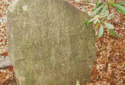 Bartram Trail marker carved in stone. |
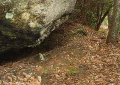 The trail brings you past many nice boulders. |
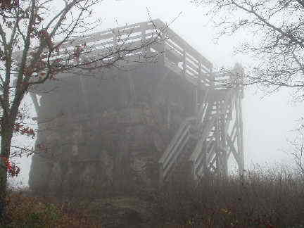 The old observation tower at the Summit of Rabun Bald. Georgia’s 2nd highest mountain peak. (4,696 ft.) |
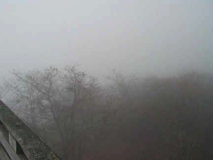 The foggy view from the tower. |
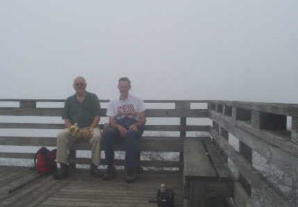 The OFHC Gang for today’s hike (l-r) Jack Jacobi and Bob Thompson. |