January 4, 2005
| HIKERS – Phil Brownrigg, Jack Jacobi, Dick Metzgar, Wayne Miller, Bob Presley, Donna Presley, Tony Presley, Dan Ross, Doug Russell, Bob Thompson, Geri Whitaker, David Whitaker.
TRAIL INFO. – Today’s hike was on the Chattoogga River Trail from Burrell’s Ford, SC to Ellicott Rock, which is the common border point for GA/SC/NC We also did the short side trail up to Spoon Auger Falls. The hike is mostly flat with very few short hills. Total distance out and back – 7.5 miles. Directions: From Walhalla, take SC 28 north to SC 107. Turn right onto SC 107 and follow for 17 miles to Forest Service road 708 (Burrells Ford Road). Travel about 2 miles or so down this gravel road and park in the campground parking lot . Another great day for a hike! Partly cloudy with temperatures ranging from the upper 40’s to the upper 50’s. FAUNA IDENTIFIED: Several trout. |
 A beautiful sunrise from our carpool parking lot at St. Mathias Episcopal Church. |
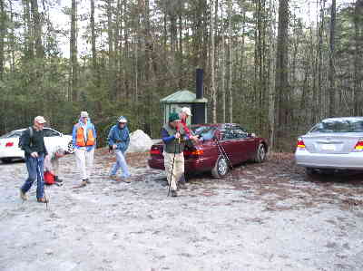 Our trail parking lot at Burrell’s Ford Campground. |
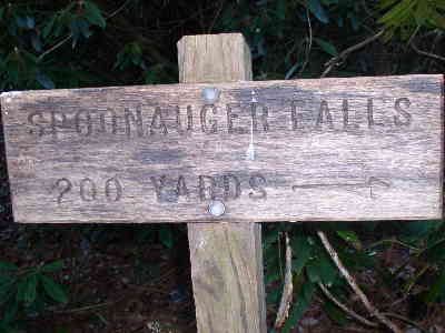 We took the short side trail up to Spoon Auger Falls. |
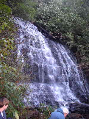 Beautiful Spoon Auger Falls. |
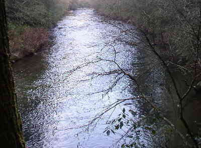 A nice view down the Chattooga River. |
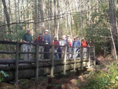 Here we cross the East Fork Bridge. |
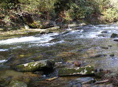 Most of the hike is very close to the river and provides nice views! |
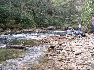 We had lunch about a quarter mile below Ellicott Rock. |
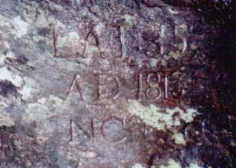 Here is the first survey mark (Commissioner’s Rock). Engraved LAT 35 , A.D. 1813 , NC + SC |
 About 15 feet north of the first rock is Ellicott Rock simply engraved N.C. |
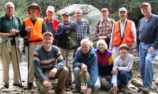 The OFHC gang for today’s hike. (l-r)front – Tony Presley, David Whitaker, Geri Whitaker, and Donna Presley (l-r back) Jack Jacobi, Wayne Miller, Bob Thompson, Doug Russell, Dan Ross, Phil Brownrigg, Dick Metzgar and Bob Presley. |