February 8, 2005
| HIKERS – Terry Doyle, Wayne Miller, Bob Presley, Donna Presley, Tony Presley, Dan Ross, Doug Russell, Geri Whitaker and David Whitaker.
TRAIL INFO. – Today’s hike was on the Foothills Trail starting at the Bad Creek Project trail parking lot and hiking to the Thompson river and back. This portion of the Foothills Trail is very well maintained and the difficulty level is moderate with significant elevation change. It features nice mountain views and beautiful river views. Total round trip hiking distance – 7.2 mi. Directions: Highway 11 past Tamassee, to Salem, SC continue to the intersection SC 11 and SC 130. Turn left onto 130 and drive approx. 10 miles (very near the NC state line) to the Bad Creek Parking lot for the Foothills trail access. Another great day for a hike! Partly cloudy and mild for February. Temperatures ranging from 52 to 60 degrees F. BIRDS IDENTIFIED: American Crow, American Robin, Towhee, Northern Cardinal, Dark-eyed Junco, Carolina Wren, Ruffed Grouse, Pileated Woodpecker. |
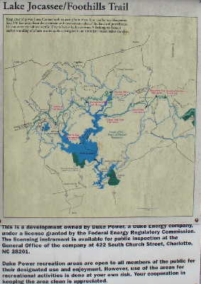 The sign at the trail parking lot. |
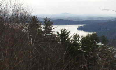 At the start of the trail, we get this nice view of the Bad Creek Project Lake. |
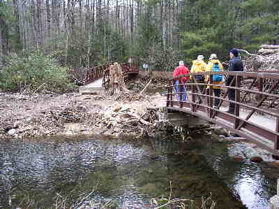 .6 miles into the hike, we cross the two bridges at the Whitewater River. |
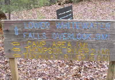 At the 1.5 mile mark, we come to the trail junction for Lower Whitewater Falls. |
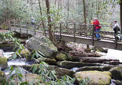 Here, we cross the beautiful Thompson River. |
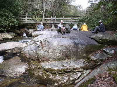 We had lunch on the awesome boulders just below the Thompson River foot-bridge. |
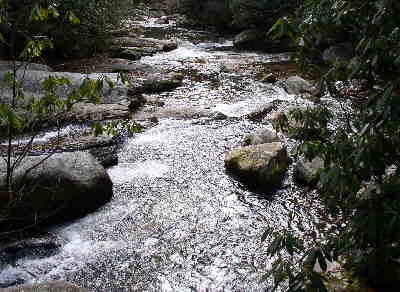 Looking from the bridge down the boulder-filled Thompson River. |
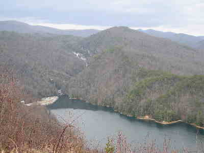 After hiking back to the start, we drive about a mile south to a great observation point for the upper end of Lake Jocassee and Lower Whitewater Falls. |
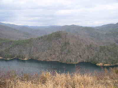 Nothing more beautiful than a lake in the mountains! |
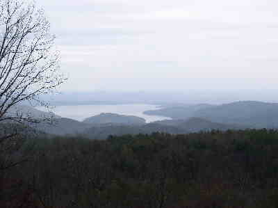 A nice roadside view of the lower end of Lake Jocassee. |
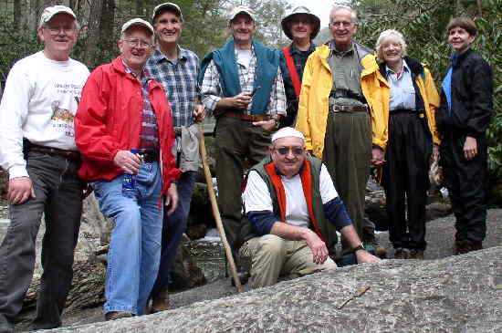 The OFHC gang for today’s hike. (l-r) Tony Presley, Bob Presley, Dan Ross, Terry Doyle, Doug Russell, Wayne Miller, David Whitaker, Geri Whitaker, and Donna Presley. |
