October 3, 2006
| This week’s hike was in South Carolina, from the State Fish Hatchery north of Walhalla to the survey point at the junction of GA/NC/SC state lines. Ellicott Rock is the original survey mark from 1813 that marked the border of NC/SC/GA (the top right point on the GA state map.)
HIKERS – John Bellamy, June Bellamy, Terry Doyle, Jack Jacobi, Steve Jordan, Wayne Miller, Bruce O’Connor, Jeanne O’Connor, Donna Presley, Tony Presley, Dan Ross, Doug Russell, Bob Thompson, and Carole Wintle . TRAIL INFO. – The trail has two sections. First from the Fish Hatchery on the East Fork Chattooga River to the main Chattooga River (2.5 miles) then to Ellicott Rock and NC State line (1.7 miles). The first section is in fine shape and the second section has a couple of bad blowdowns and some treacherous footing. It is a very nice hike along the upper reaches of the Chattooga River to a historical survey mark. Actually there are two marked rocks about 15 feet apart. One is called Commissioner’s rock and this survey mark was disputed and the other is called Ellicott Rock. We also toured the SC State Fish Hatchery which produces trout for stocking mountain streams. (the following is from the Mountain X-Press.) In the late 18th century this “orphan strip” was home to 50 white settlers’ families, but because neither state policed it, it was also a haven for outlaws and criminals. Georgia laid claim to the section in 1803 and called it Walton County. Both states referred the boundary problem to the U.S. Congress, which did nothing about it. In 1810, North Carolina sent out its state militia to displace the Georgia government, resulting in a battle near present-day Brevard. North Carolina won and took back the area. Georgia wasn’t satisfied, though, and hired Andrew Ellicott, a noted surveyor from Pennsylvania, to definitively establish the border. In 1811, Ellicott and his large team bushwhacked through rhododendrons and mountain laurel thickets to determine the location of the 35th parallel. He engraved the state boundary on a rock on the east side of the Chattooga River, giving the disputed land to North Carolina. Ellicott Rock, which can be reached only on foot, marks the location. Total hiking distance – 8.4 miles round trip. Directions: From Walhalla, take SC 28 N to SC 107. Continue on SC 107 approximately 13 miles. Look for the Walhalla Hatchery sign and turn left on the Hatchery road. The Hatchery is located 2 miles down the hill at the end of the road. Another great day for a hike! Sunny, temperatures from the upper 50’s to the mid 70’s F. FLOWERS IN BLOOM: Woodland Sunflowers, Bush Asters, Heart-leafed Asters, Blue Asters, Tall Goldenrod, Yellowroot, Tall Loelia and Heal All. Also Euonymous “Hearts-a-burstin”, and Jack-in-Pulpit in fruit. BIRDS IDENTIFIED: Blue jay, Carolina wren, Kingfisher, Phoebe, Pileated woodpecker, Whitebreasted nuthatch. |
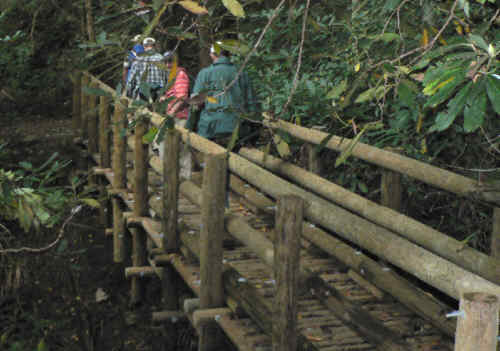 Crossing one of the nice bridges early into the hike. |
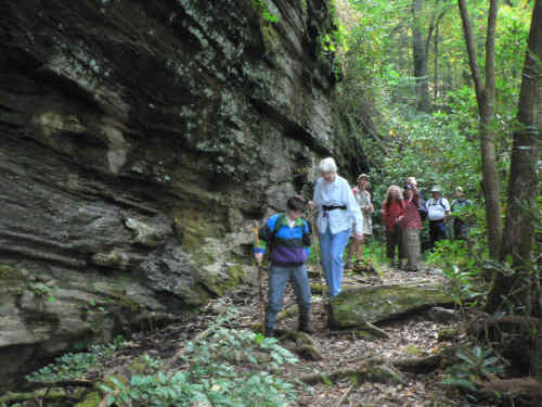 The incredible rock wall beside the trail. |
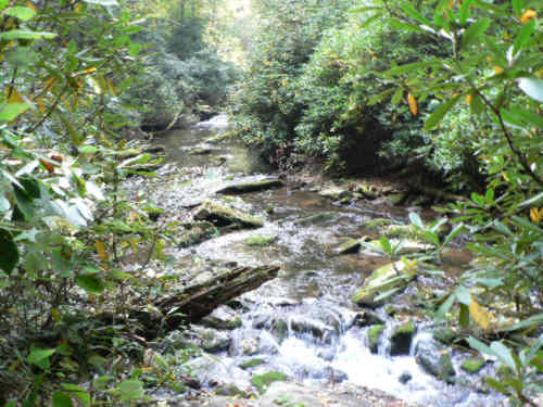 The trail follows the East Fork Chattooga River for the first 2.5 miles. |
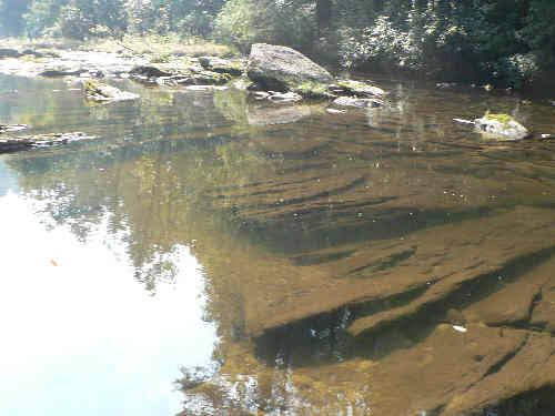 We now join the main river which at this point is very calm and crystal clear. |
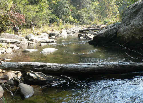 Here we are about a quarter mile from Ellicott Rock. |
  Here are the two survey marks involved in the historical dispute. They are about 15 ft. apart. |
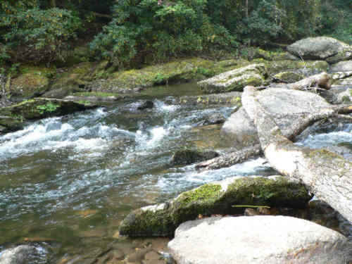 the Chattooga River at our lunch spot for the day. |
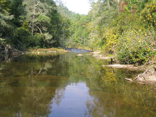 Another calm spot along the river. |
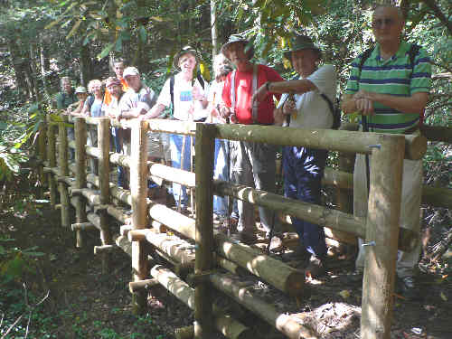 Our group trying out the new bridge. |
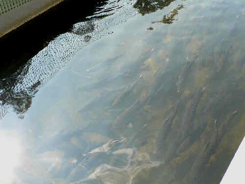 Some of the brood stock of trout at the Fish Hatchery. |
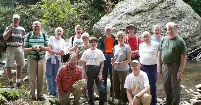 The OFHC gang for today’s hike. (l-r) Terry Doyle, Jack Jacobi, June Bellamy, Bruce O’Connor (kneeling), John Bellamy, Jeanne O’Connor, Donna Presley, Bob Thompson, Carole Wintle, Wayne Miller, Tony Presley (kneeling), Doug Russell, Dan Ross, and Steve Jordan. . |
