January 16, 2007
| This week, we hiked to the summit of Currahee Mountain near Toccoa, GA from highway 184. Next, we hiked the Leatherwood Creek Loop on the Frady Branch Trail System.
Total Hike 6.5 miles. HIKERS – Jack Jacobi, Dick Metzgar, Wayne Miller, Donna Presley, Tony Presley, Dan Ross, Doug Russell, Pom Sinnock, Dave Standard, Bob Thompson, and Carole Wintle. TRAIL INFO. – The Currahee Trail is a nice but steep climb up the mountain with great views at the summit. The trail starts from the Currahee Voting building on Highway 184. (round trip about 1.5 miles). The Leatherwood Creek Loop Trail is part of the Frady Branch Trail System. This trail is designated for use by horses, mountain bikes, and hikers. The trail is mostly easy walking with occasional hills. This loop is almost 4.5 miles in length. We also did a couple of short side trails to Ferabrew Cemetary and Roman’s Den. Today’s hiking distance – approx. 6.5 miles Directions: Heading west from Toccoa on U.S. 123 , cross highway 17 at the Jeanette Jameson intersection and continue one quarter mile and turn left onto Highway 184 toward Homer. Drive about a mile and the Currahee Building parking lot is just past the Woodmen of the World facility on the right. A simple white building with two doors. The trail begins just behind the building. The Frady Branch Trails are about a mile beyond the Currahee Building on Hwy. 184. There is a Forest Service trail sign on the right. Another great day for a hike – Cloudy, breezy and cool.Temperatures from the low to mid 40’s F. WILDFLOWERS IN BLOOM: Purple Violet, White Violet and Birdsfoot Violet. BIRDS IDENTIFIED: Cardinal, Chickadee, Pine warbler, and Ruby-Crowned Kinglet. |
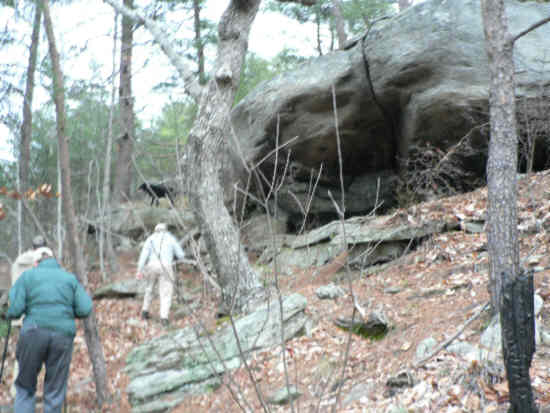 Heading up Currahee, we pass lots of huge boulders and rock cliffs. |
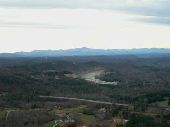 At the top looking northward, we see N. Georgia mountains. (Rabun Bald center) |
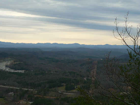 Looking a little more to the northeast. |
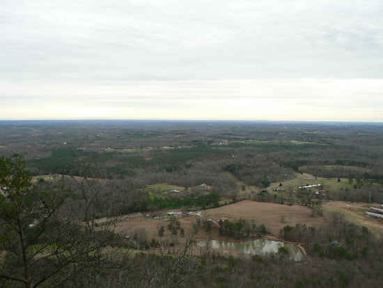 Looking to the south, you see no mountains. Currahee is considered to be the southern-most of the Blue Ridge Chain. |
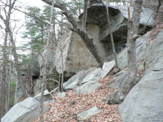 More Currahee Rock Cliffs. |
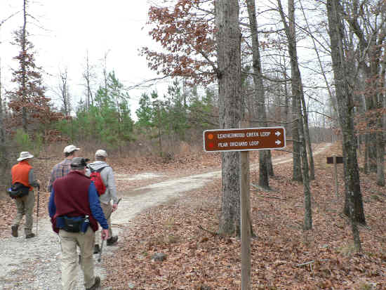 We now move down to the Leatherwood Creek Loop Trail. |
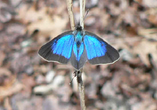 We found this pretty little blue butterfly! Does anyone know its I.D.? |
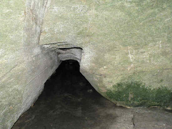
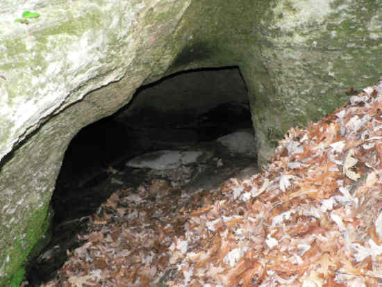 We took a side trip out to the cave called “Roman’s Den”. This is the entrance. |
 This photo was taken inside the den and it shows an entrance to a back room. |
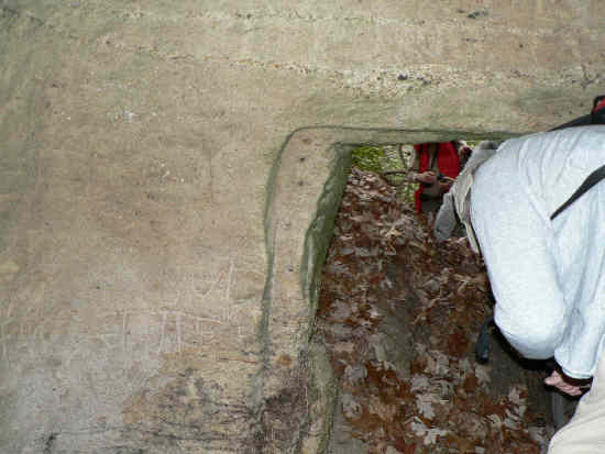 This is from inside the cave as we exit. |
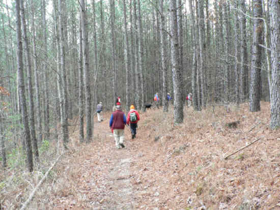 There was lots of nice flat walking through the forest. |
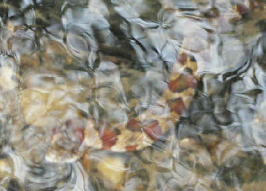 We were very surprised to find a live snake in the creek on January 16th! This Water Snake was on the edge of the creek with his nose sticking out of the water. We have had some warm days recently! |
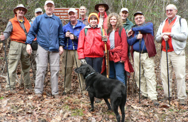 The OFHC gang for today’s hike. (l-r) Wayne Miller, Dick Metzgar, Tony Presley, Dave Standard, Dan Ross, Donna Presley, Pom Sinnock, Carole Wintle, Bob Thompson, Doug Russell, and Jack Jacobi AND “Jet” the trail dog. |