October 9, 2007
| Today’s hike was on the Appalachian Trail in GA from Indian Grave Gap past the summit of Tray Mountain and back. 7 miles total.
HIKERS – Phil Brownrigg, Linda Johnson, Dick Metzgar, Wayne Miller, Bob Presley, Donna Presley, Tony Presley, Vic Robson, Dave Standard, Bob Thompson, Carole Wintle. TRAIL INFO. – This portion of the Appalachian Trail starts at Indian Grave Gap on Forest Service Road 283. There is an elevation gain of 1300 ft. to the summit of Tray Mountain. Moderate difficulty due to elevation change. Directions: Take GA 75 north from Helen for 11.4 miles. Turn right onto Indian Grave Gap Road (High Shoals Falls sign), graveled Forest Service Road 283. Follow this road 1.5 miles to a small parking lot at the trailhead. (The road fords a fairly shallow stream before continuing to the parking lot.) Another great day for a hike! Partly cloudy and mild with temperatures from the mid 60’s to mid 70’s F. Hiking distance – 7 miles WILDFLOWERS IN BLOOM: Blue Aster, Bushy Aster, White Wood Aster, Mountain Gentian, Joe Pye Weed, Ladies Thumb, Southern Harebell, White Snakeroot, Goldenrod, Heal-all, Phlox, Wood Sorrell. BIRDS IDENTIFIED: Carolina Wren, Blue Jay, Towhee, Pileated Woodpecker, Crow, Carolina Chickadee, White-Breasted Nuthatch, Vireo, Peregrine Falcon. |
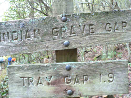 Trail Sign near the start. |
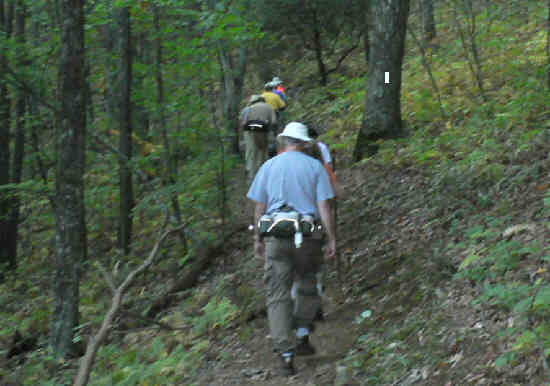 Another great day for a hike on the A.T.! |
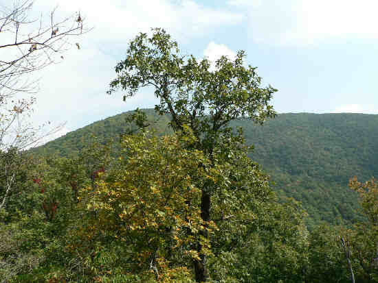 A trailside view of Tray Mountain. |
 Sign at Tray Gap. . |
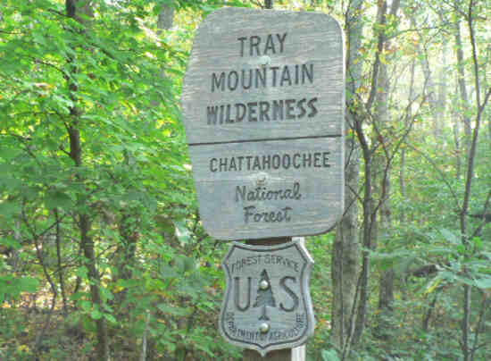 Wilderness marker. |
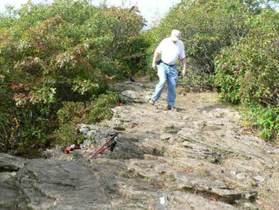
 View as we near the summit of Tray. |
 The summit of Tray Mountain (4,430 ft) |
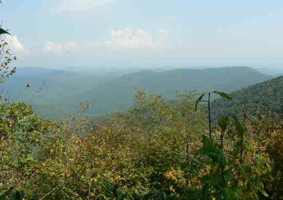
 Hazy view from the summit. |
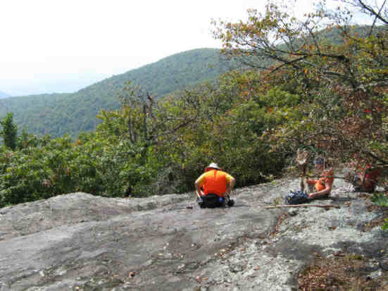 Lunch on the rocks! |
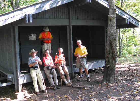 The Tray Mountain Shelter. |
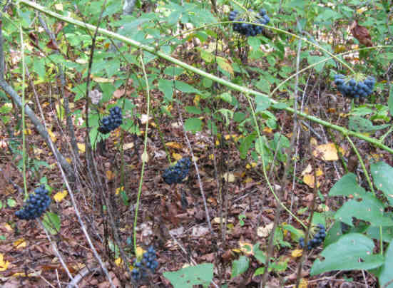 The fruit of Carrion Flower. Supposedly edible raw or in jellies. We did not taste! |
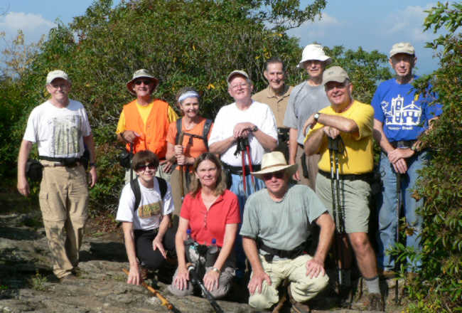 The OFHC gang from today’s hike (l-r front) Donna Presley, Linda Johnson, Vic Robson. (l-r standing) Tony Presley, Wayne Miller, Carole Wintle, Bob Presley, Bob Thompson, Dick Metzgar, Dave Standard, Phil Brownrigg. |