December 11, 2007
| Today’s hike was on the Appalachian Trail from Tessnatee Gap to Cow Rock and Wolf Laurel Top. Total hike approx. 5.5 miles.
HIKERS – John Bellamy, Phil Brownrigg, Chuck Crisp, Pam Euliss, Bill Hunt, Jack Jacobi, Dick Metzgar, Wanda Miller, Wayne Miller, Bob Presley, Tony Presley, Joe Raguckas, Dan Ross, Doug Russell. TRAIL INFO. – This portion of the Appalachian Trail is hilly, rocky and beautiful. The mountain views are spectacular along the trail along with awesome rock face look-offs. Our hike today was fairly short but it was a good workout due to the climbs. Out and back distance approximately 5.5 miles. Directions: Take GA 75 north from Helen for 1.5 miles. Turn left onto GA 356(75 Alternate) and travel 2.3 miles to the Richard B. Russell Scenic Highway (GA 348). Turn right and travel about 9 miles to Hog Pen Gap and continue about a quarter mile to the Tessnatee Gap parking lot on the left. Another great day for a hike! Sunny and mild . Temperatures ranged from the mid 50’s to mid 70’s! Hiking distance – 5.5 miles Difficulty – Moderately difficult due to the hills. WILDFLOWERS IN BLOOM: Dandelion! BIRDS IDENTIFIED: Dark-eyed Junco, Carolina Chickadee, White-breasted Nuthatch, Towhee, American Robin, Pileated Woodpecker and Turkey Vulture. |
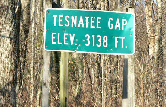 Starting point for today’s hike. |
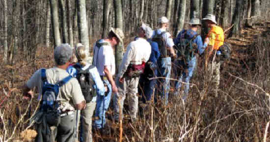 Another great day for a hike on the Appalachian Trail. |
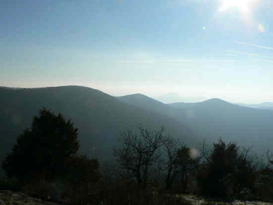 One of many nice mountain views. |
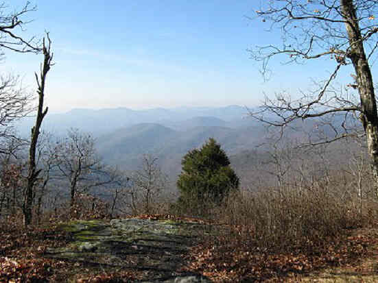 Northeast Georgia Mountains! . |
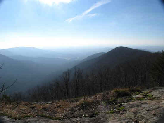 Morning haze in the mountains. |
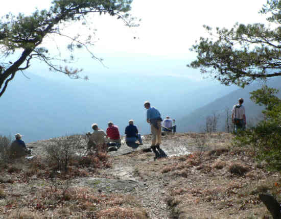 After walking over to Wolf Laurel, we come back to Cow Rock for lunch. |
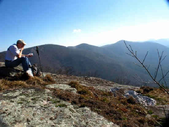 Food just tastes better on a rock cliff in the mountains! |
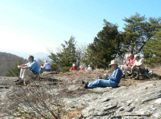 More lunch! |
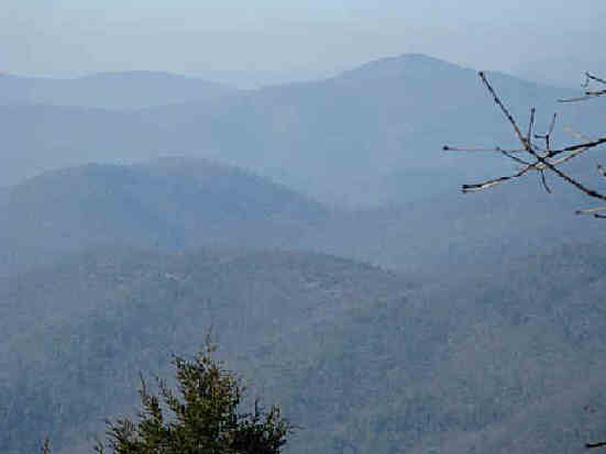 More mountains! |
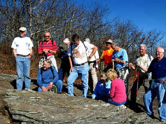 Preparing for the group picture… |
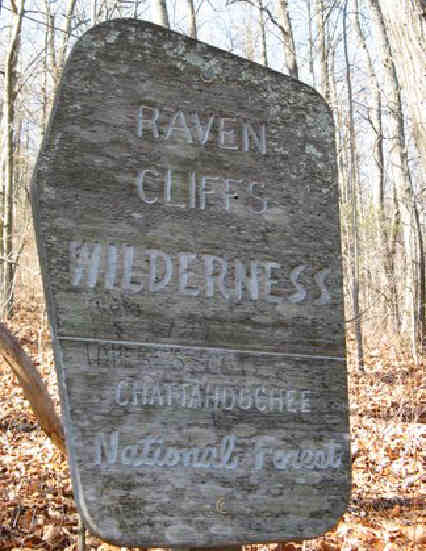 Today’s hike was in the Raven Cliffs Wilderness Area. |
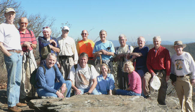 The OFHC gang for today’s hike. (l-r front) John Bellamy, Chuck Crisp, Wanda Miller, Pam Euliss. (l-r back)Phil Brownrigg, Jack Jacobi, Doug Russell, Joe Raguckas, Wayne Miller, Dan Ross, Bill Hunt, Bob Presley, Dick Metzgar, Tony Presley. |
