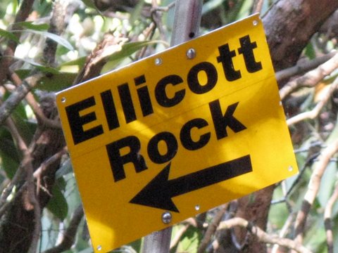
| Today’s hike was on the Chattooga River Trail in SC from Burrell’s Ford Campground Parking lot to Ellicott Rock (the survey mark for NC/SC/GA). See history below.
HIKERS – Along with our regular hikers today, we had a special group of guests from the Blue Ridge Outdoor Education Center. Director Josh Rood and the Spring 2009 staff. ELLICOTT ROCK HISTORY – (the following is from the Mountain X-Press.) In 1810 this section was the site of the Walton War, brought about by a dispute over the Georgia/North Carolina border. At the time, the 35th parallel was accepted as Georgia’s northern border, but no one was exactly sure where it ran. Consequently, the two states could not agree on who owned a 12-mile-wide strip of land in the disputed area. In the late 18th century this “orphan strip” was home to 50 white settlers’ families, but because neither state policed it, it was also a haven for outlaws and criminals. Georgia laid claim to the section in 1803 and called it Walton County. Both states referred the boundary problem to the U.S. Congress, which did nothing about it. In 1810, North Carolina sent out its state militia to displace the Georgia government, resulting in a battle near present-day Brevard. North Carolina won and took back the area. Georgia wasn’t satisfied, though, and hired Andrew Ellicott, a noted surveyor from Pennsylvania, to definitively establish the border. In 1811, Ellicott and his large team bushwhacked through rhododendrons and mountain laurel thickets to determine the location of the 35th parallel. He engraved the state boundary on a rock on the east side of the Chattooga River, giving the disputed land to North Carolina. Ellicott Rock, which can be reached only on foot, marks the location. TRAIL INFORMATION – Parking at Burrell’s Ford Campground parking lot, we hiked up the Chattooga River to Ellicott Rock and back. We also did the side trail up to Spoonauger Falls. It is a mostly flat hike with only a few short inclines. Most of the hike keeps you in view of the federally designated “Wild and Scenic Chattooga River” Directions: From Walhalla, take SC 28 north to SC 107. Turn right onto SC 107 and follow for 17 miles to Forest Service road 708 (Burrells Ford Road). Travel about 2 miles or so down this gravel road and park in the campground parking lot . Another great day for a hike! Fair and cold with temperatures ranging from 19 to 38 degrees F. Hiking distance – approx. 7.8 miles. FLOWERS IN BLOOM: none BIRDS IDENTIFIED: Belted Kingfisher, Pileated Woodpecker, Turkey Vulture, Dark-eyed Junco, Cedar Waxwings and Carolina Wren. |
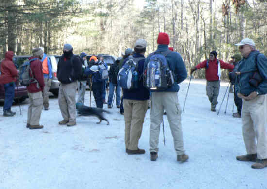 Parking at Burrell’s Ford. |
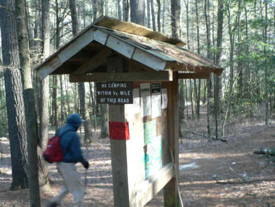 The trailhead on Burrell’s Ford Rd. |
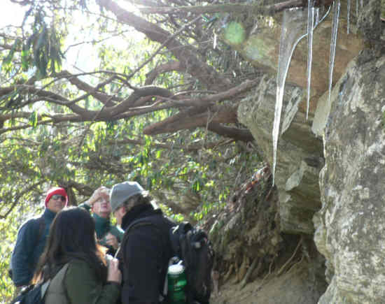
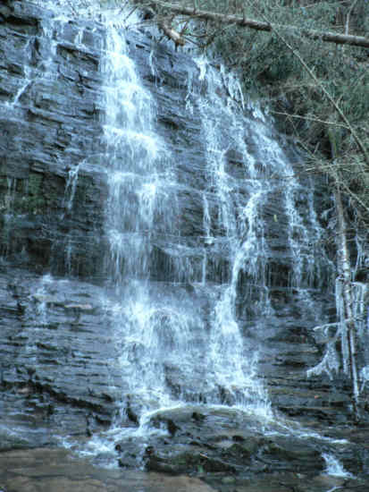 We took the side trail up to Spoonauger Falls! icy! |
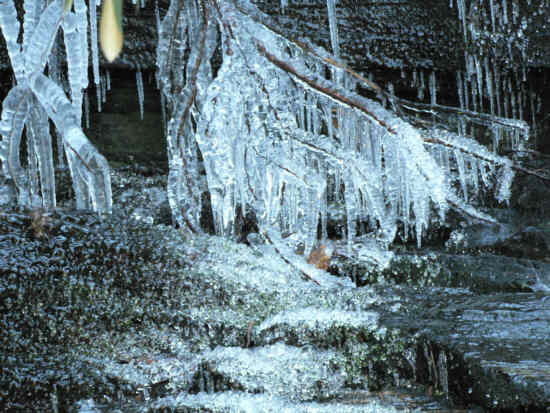 Frozen beauty! |
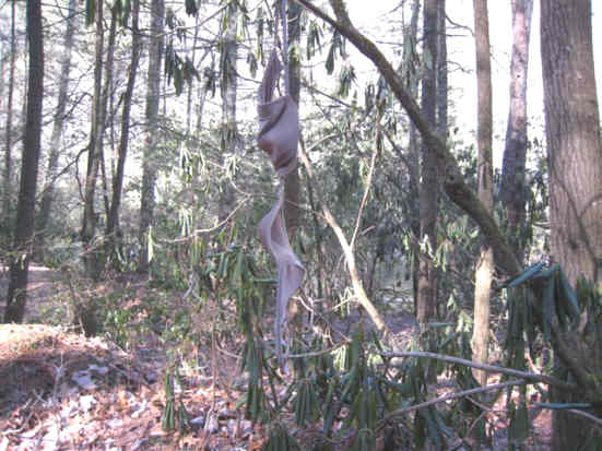
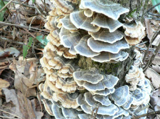 Fungus of the week! back by popular demand. |
 Did I mention…It was cold? |
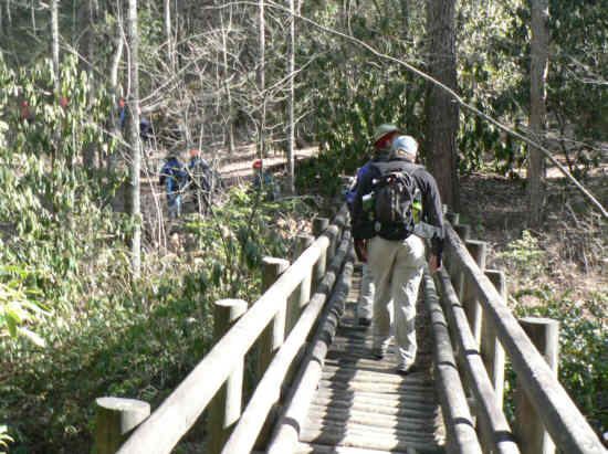 Crossing the bridge across the East Fork of the Chattooga River. |
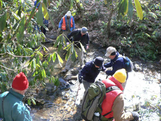 Tricky, slippery crossing of Bad Creek. |
 If you are missing one of these, we found it here. |
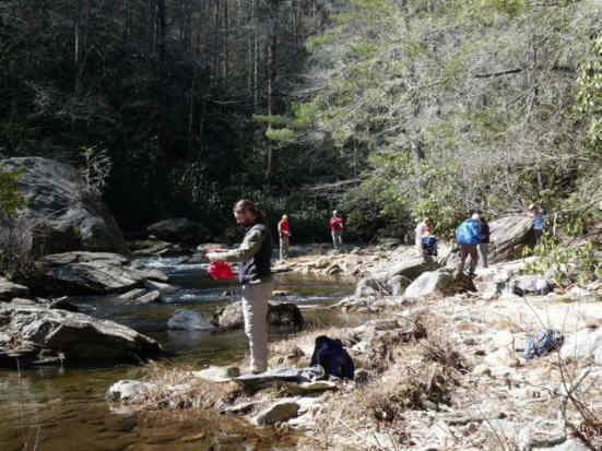
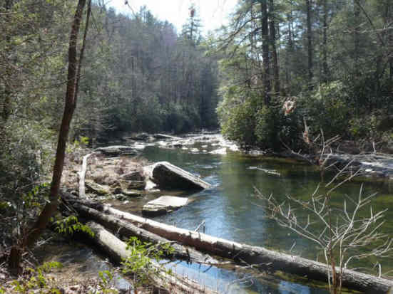 Many beautiful spots along the river. |
 We finally reach the NC state line and historic Ellicott Rock. |
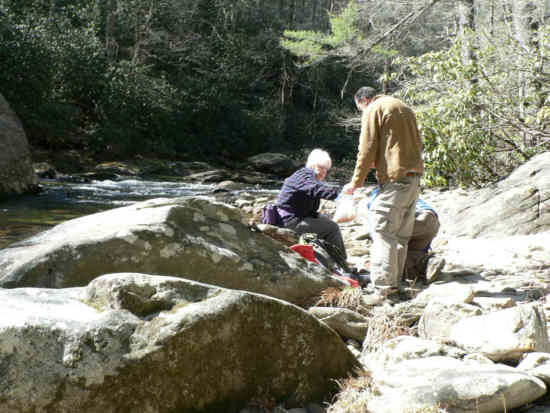
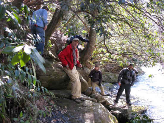 You have to scramble down a slippery slope to view the rock engravings. |
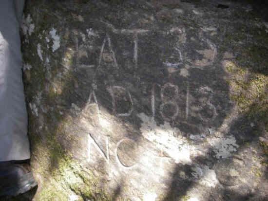 Here is the first survey mark (Commissioner’s Rock). Engraved LAT 35 , A.D. 1813 , NC + SC |
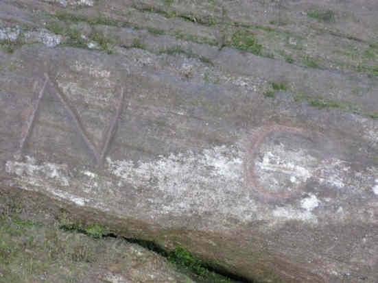 About 15 feet north of the first rock is Ellicott Rock simply engraved N.C. |
 Back down the river, we find our lunch spot for the day! |
 Lunch on the rocks. |
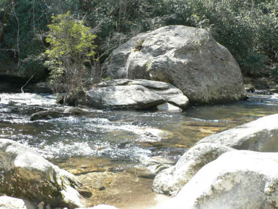 Huge boulder in the river at our lunch spot. |
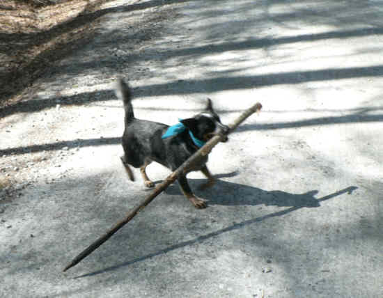 Lili “the trail dog” carries a big stick! |
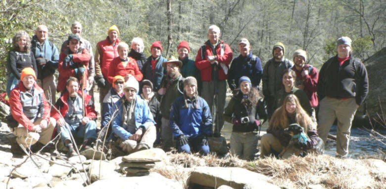 The OFHC gang for today’s hike. (l-r front) Tony Presley, Bruce O’Connor, Donna Presley, Dick Metzgar, Linda Johnson, Josh Rood, Doug Clayton, Coral Bass, Aurora Ziobrowski, Lani Meyer & Lili “the trail dog” . (standing l-r) Carole Wintle, Jack Jacobi, Doug Russell, Dan Ross, Pom Sinnock, Jeanne O’Connor, Char Sinnock, Joe Raguckas, Dave Hinson, Bill Hunt, Dave Standard, Matt Wagner, Eric Thompson, Thomas Dunbar. |