November 13, 2012
|
TRAIL INFO. – This portion of the Bartram Trail is in extreme northeast Rabun County GA at the SC state line. We hiked southward towards Willis Knob for 4 miles and retuned for a mostly easy 8 mile hike. TODAY’S HIKERS: Phil Brownrigg, Greta Driggers, Jim Driggers, Bill Hunt, Bob Magee, Dick Metzgar, Bruce O’Connor, Jeanne O’Connor, Lynne Porter-Whitmire, Rick Porter-Whitmire, Don Preece, Donna Presley, Tony Presley, Vic Robson and Dan Ross. Total hiking distance today – About 8 miles mostly flat with some gently rolling hills. Difficulty rating – easy. DIRECTIONS: FROM CLAYTON, GA TAKE WARWOMAN ROAD EASTWARD FOR 13 MILES TO HIGHWAY 28 AND BEAR RIGHT AND CONTINUE FOR 2 MILES TO THE PARKING LOT ON THE LEFT JUST BEFORE THE HWY 28 BRIDGE. Another great day for a hike! Sunny and cool with temperatures ranging from the low 50’s to the low 60’s F. WILDFLOWERS IN BLOOM: none BIRDS IDENTIFIED: Dark-eyed Junco, Carolina Chickadee, Carolina Wren, White-breasted Nuthatch, Belted Kingfisher, American Crow, and Towhee. |
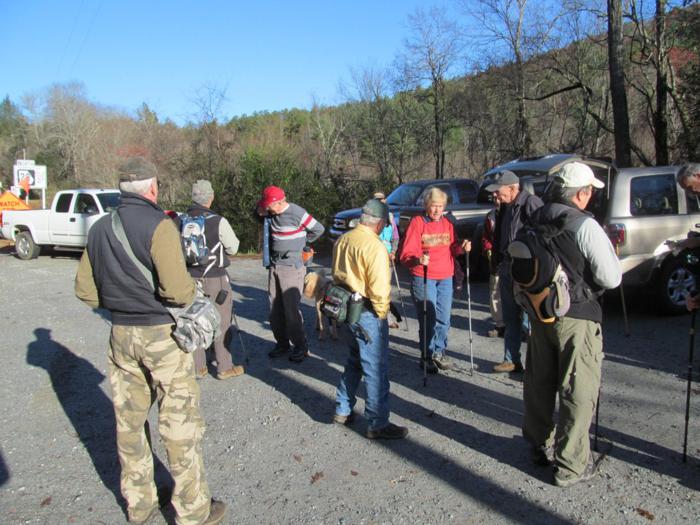 Parking near the Highway 28 “Russell Bridge”.. |
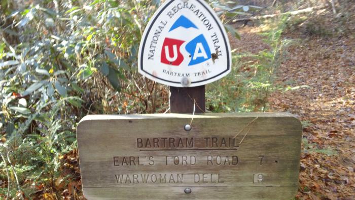 Marker near the start. |
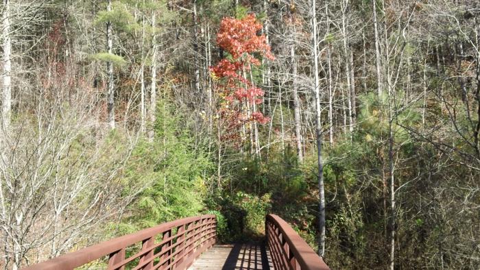 Early into the hike we come to the footbridge over the West Fork Chattooga River. |
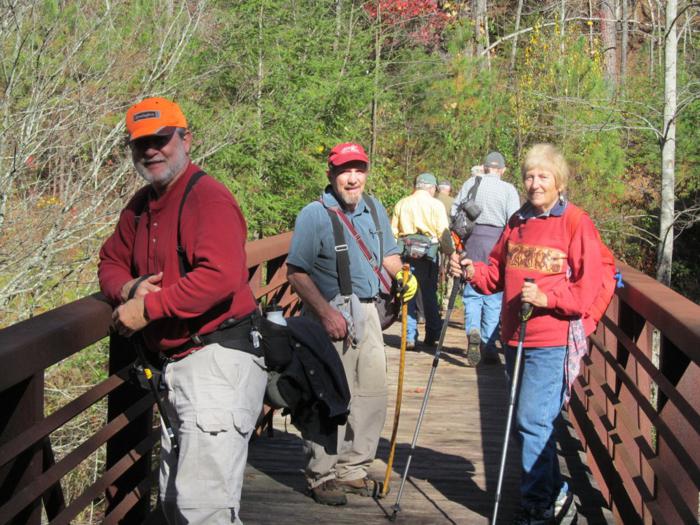 Another great day for a hike!. |
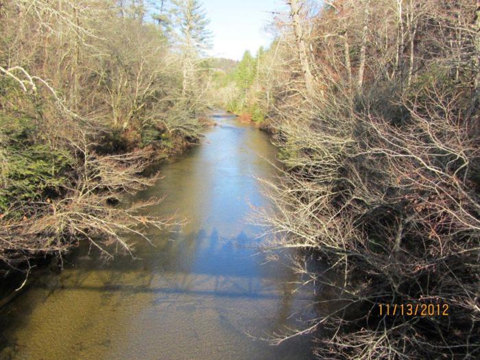 View from the bridge looking up the West Fork. |
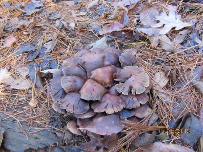 Mushrooms of the week!! |
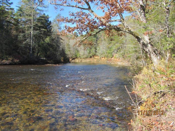 Lots of nice views of the Chattooga River! |
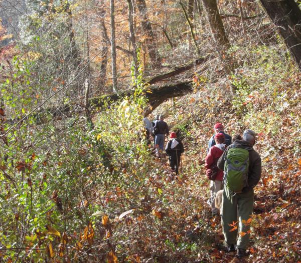 15 hikers enjoyed this beautiful hike. |
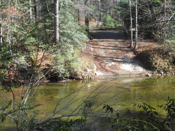 Looking across the river to this launch point for kayaks and rafts on the SC side of the river. |
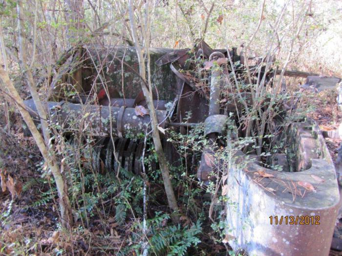 This hike brings you through some historic farm land. This is an old abandoned hay baler. |
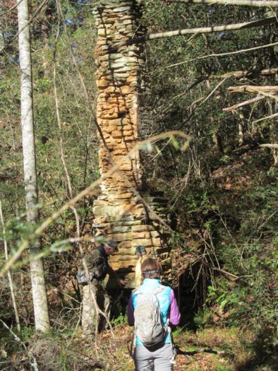 An old home place near the Hay Baler. |
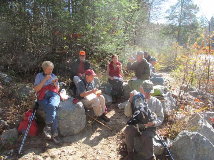 Lunchtime on the Chattooga! |
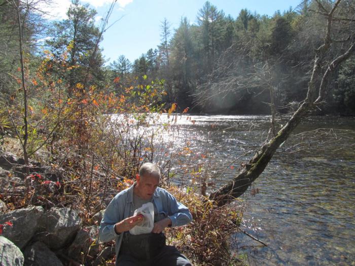 Where a peanut butter and jelly sandwich tastes better than a meal at a fine restaurant! |
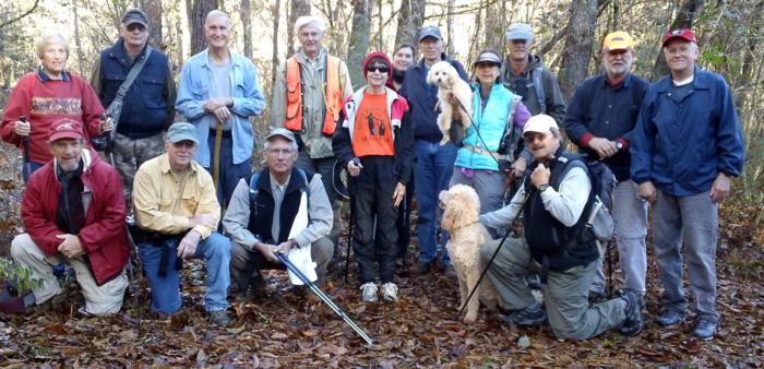 The OFHC gang for today’s hike! (l-r) Jeanne O’Connor, Bruce O’Connor, Don Preece, Vic Robson, Dan Ross, Bill Hunt, Dick Metzgar, Donna Presley, Gretta Driggers, Phil Brownrigg, trail dogs “Frisco and Honey”, Lynne Porter-Whitmire, Jim Driggers, Rick Porter-Whitmire, Bob Magee and Tony Presley . |
