March 26, 2013
| Today’s hike was on the Appalachian Trail in Georgia starting at Hogpen Gap and hiking southward to Cow Rock and Wolf Laurel Top,
HIKERS – Karen Brown, Bob Magee, Jeanne O’Connor, Bruce O’Connor, Vic Robson and Dan Ross. TRAIL INFO. – This portion of the A.T. is typical of the GA section. Lots of great mountain views with lots of hills to climb along the way. Today was an extra challenge due to bitter cold temperatures and persistent wind and snow flurries with slippery icy footing. We met 20 thru-hikers headed for Maine along with 2 thru-hiking dogs! Directions: Take GA 75 north from Helen for 1.5 miles. Turn left onto GA 356(75 Alternate) and travel 2.3 miles to the Richard B. Russell Scenic Highway (GA 348). Turn right and travel about 9 miles to Hogpen Gap. The parking lot is on the right. Another great day for a hike! Mostly cloudy and bitter cold wind and snow flurries with temperatures ranging from 22 to 32 degrees F. Total distance – 6.3 mi. Somewhat strenuous. FLOWERS IN BLOOM: none BIRDS IDENTIFIED: Dark-eyed Junco, American Robin and Downy Woodpecker. . |
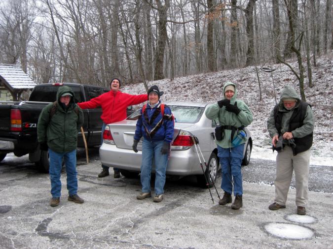 Parking at Hogpen Gap . |
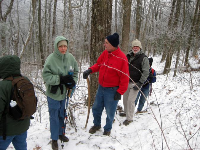 The hike starts with a significant climb up Wildcat Mountain. |
 A beautiful Springtime? day in GA. |
 It was cold! |
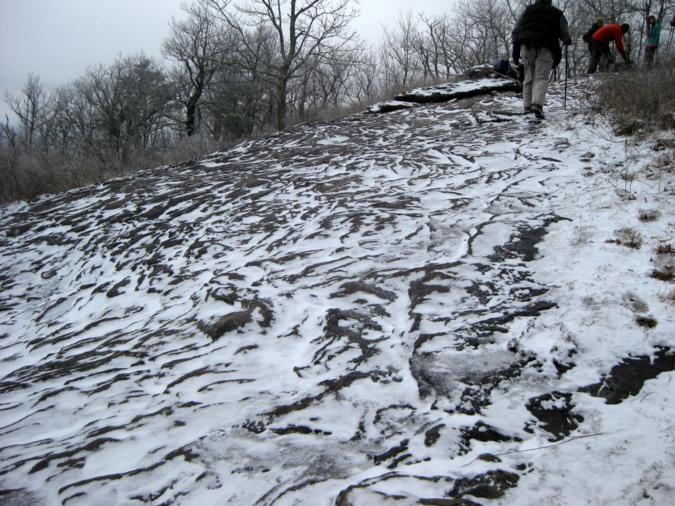 Walking up the exposed rock face at Cow Rock Mountain. |
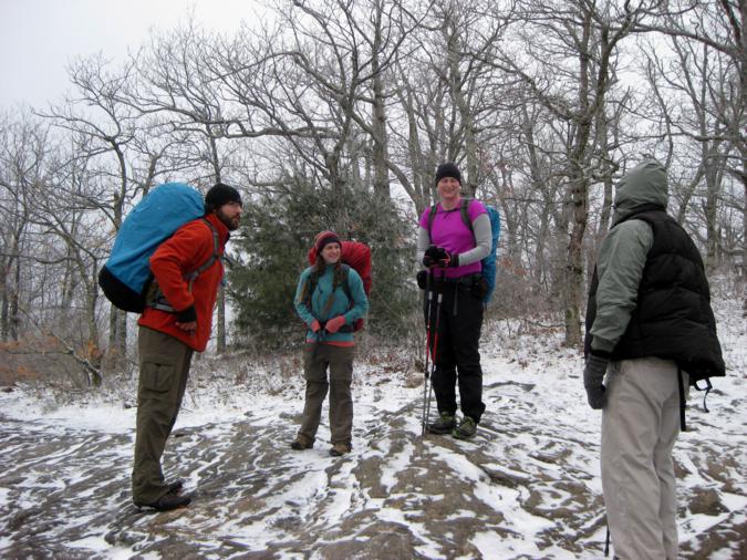 These thru-hikers were from Connecticut and Georgia. |
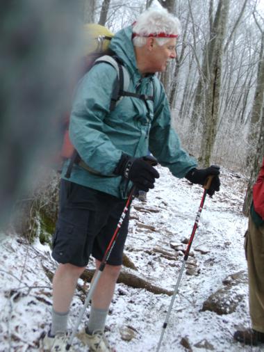 This guy from Michigan was wearing shorts! |
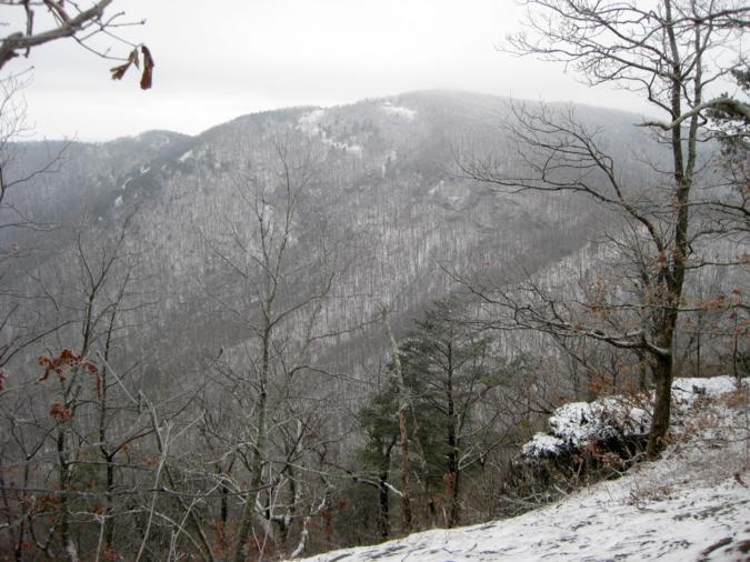
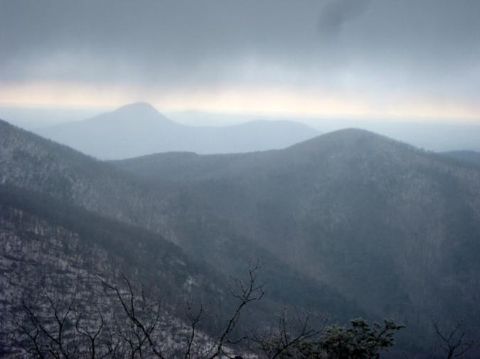 A view from Cow Rock Mt. |
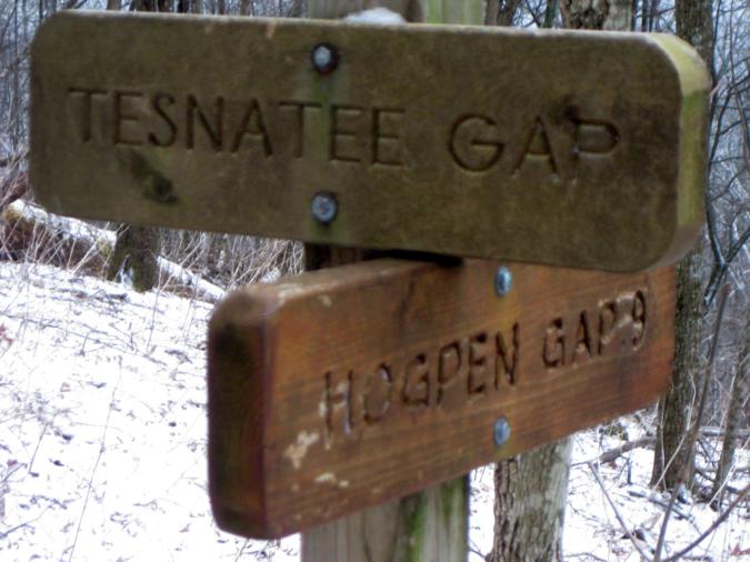 Trail sign at Tesnatee Gap. |
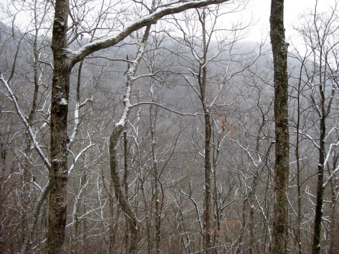 Typical view along the trail. |
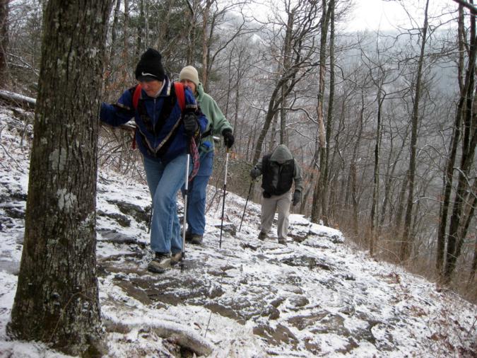 The rocky slopes were icy! |
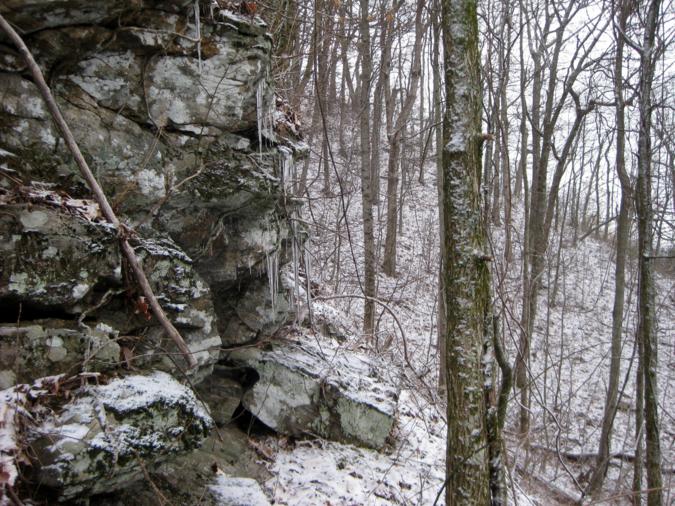
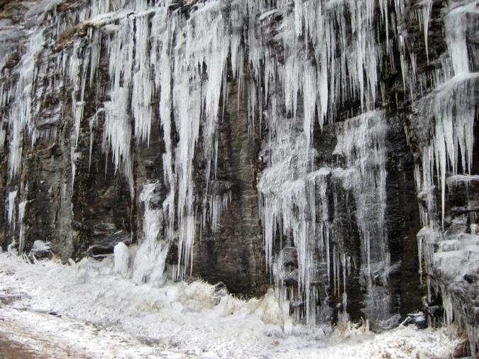 Just above Tesnatee Gap we view this display of “Global Warming”. |
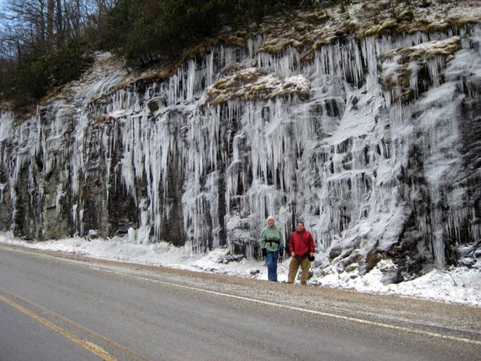 Springtime in North Georgia! |
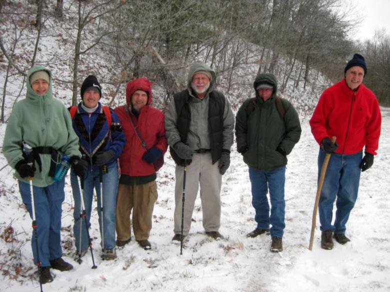 The OFHC gang for today’s hike. (l-r) Karen Brown, Jeanne O’Connor, Bruce O’Connor, Bob Magee, Vic Robson and Dan Ross. |
SEE BELOW FOR MORE ICY PHOTOS!
