December 3, 2013
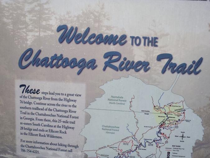
| TRAIL INFO. – This portion of the Chattooga River Trail starts at the trail parking facility on the SC side of the Highway 76 bridge. The trail starts down a staircase to the bridge sidewalk over the river to the start of the trail on the GA side. As you hike along the trail, it gradually veers away from the river for several miles before returning to the riverside. The trail is well maintained and includes rolling hills as well as flat portions.
TODAY’S HIKERS: Phil Brownrigg, Stephen Gales, Dave Hinson, Bill Hunt, Dick Metzgar, Tony Presley, Pom Sinnock, Carole Wintle and Jack Wintle. Total hiking distance today – 9 miles with a mixture of rolling hills and flat sections. with Difficulty rating – Moderate. DIRECTIONS: Take highway 76 east out of Clayton, GA and continue 7.2 miles to the Highway 76 Bridge at the river. Cross the bridge and park at the trail facility on the left. Another great day for a hike! Mostly cloudy and cool with occasional mist with temperatures ranging from the upper 50’s to the mid 60’s F. WILDFLOWERS IN BLOOM: None BIRDS IDENTIFIED: Pileated Woodpecker, American Crow, Dark-eyed Junco, Carolina Wren, Carolina Chickadee and Tufted Titmouse. SCROLL DOWN FOR PHOTOS AND VIDEO FROM TODAY’S HIKE! |
 |
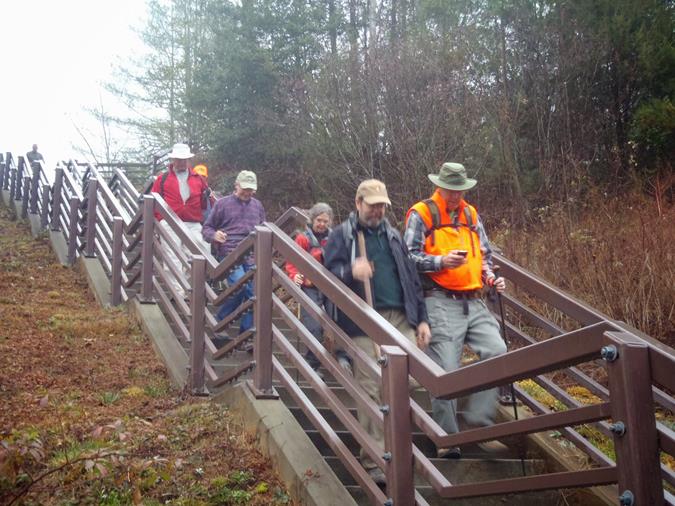 Headed down the steps to cross the Hwy. 78 bridge. |
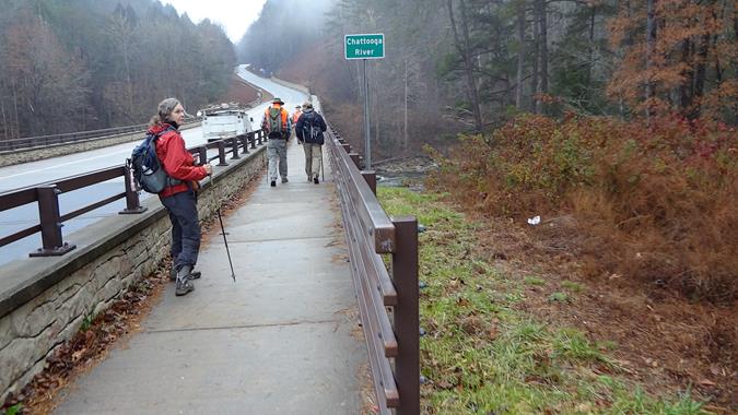 Crossing the bridge to the GA side. |
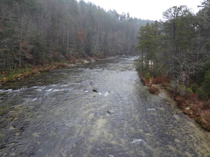 The “Wild and Scenic” Chattooga River from the bridge. |
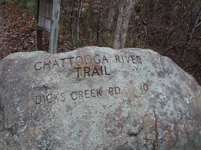 The actual start of the trail. |
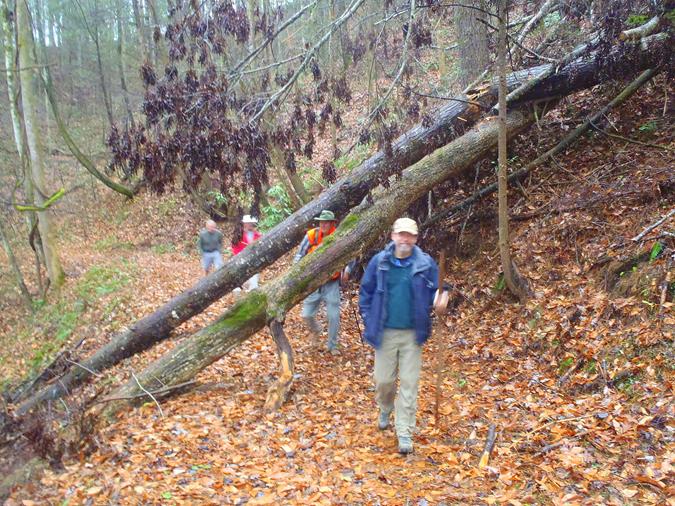 The trail had a few blow-downs but nothing difficult to pass through.. |
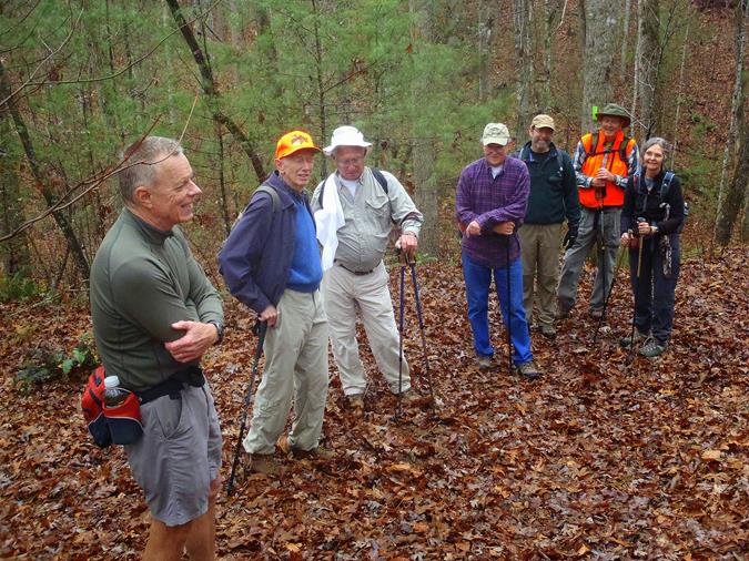 Another great day for a hike! |
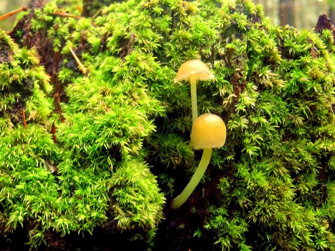 Mushrooms of the week! |
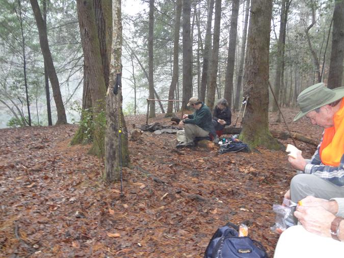 Lunchtime along the river! |
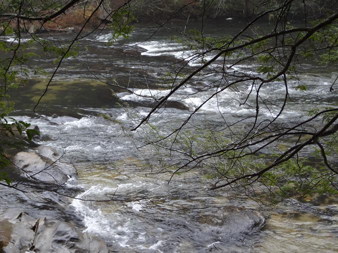 The view from our lunch spot. |
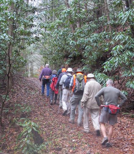 Headed back to SC. |
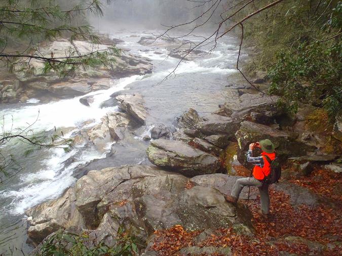 We took the short trail down to Bull Sluice Rapid! |
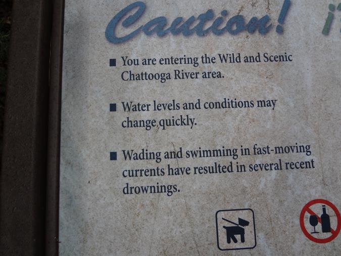 Word to the wise! |
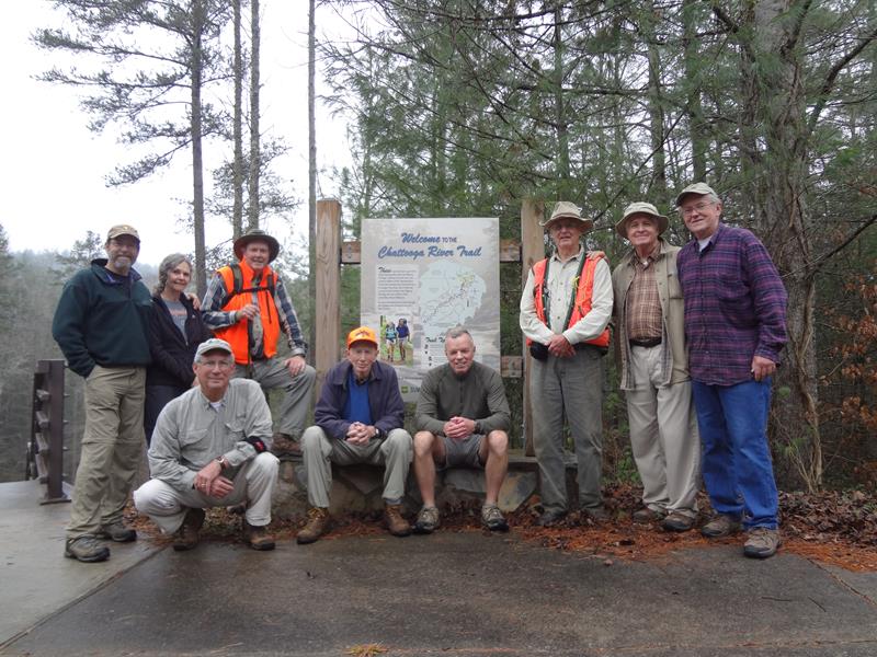 The OFHC gang for today’s hike. (l-r) Jack Wintle, Carole Wintle, Bill Hunt, Pom Sinnock, Phil Brownrigg, Stephen Gales, Dick Metzgar, Dave Hinson and Tony Presley . |
SEE VIDEO FROM THIS HIKE BELOW!
