March 11, 2014
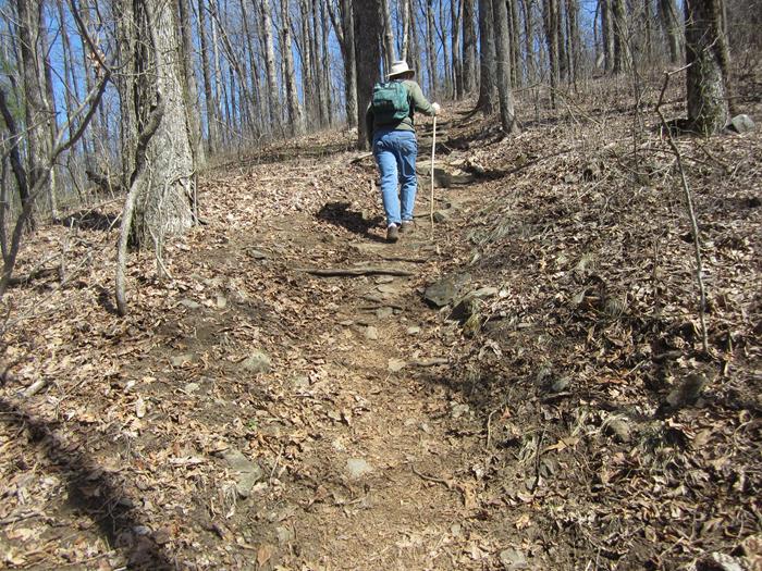
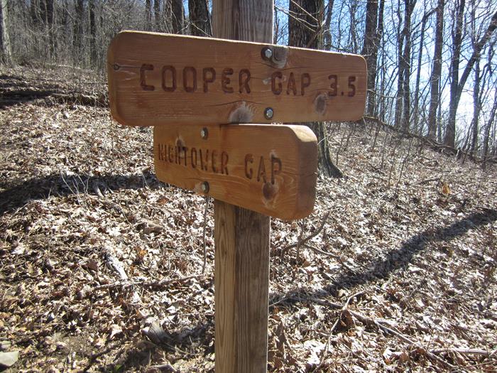
| Today’s hike was on the Appalachian Trail starting at Cooper Gap hiking to Hightower Gap and back. This strenuous portion of the A.T. took us to within 8 miles of the southern terminus of the 2,175 mile trail.
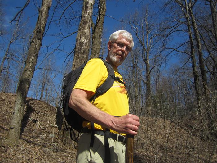
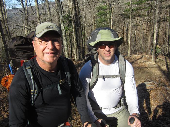
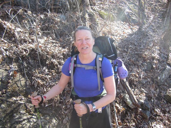
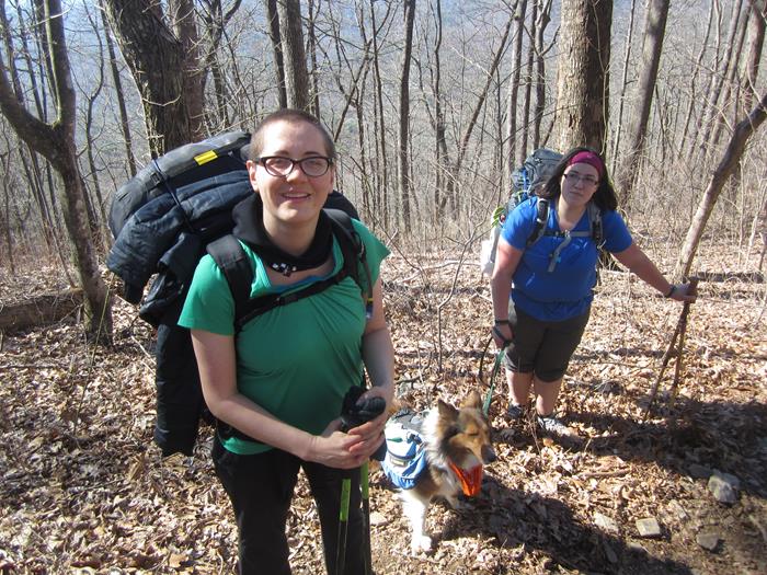
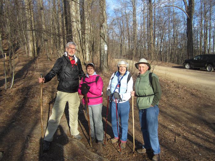
HIKERS – John Bellamy, June Bellamy, Dave Norton and Mary Lu Norton. TRAIL INFORMATION – A beautiful portion of the Appalachian Trail in Lumpkin County, GA. From Cooper Gap headed south on the trail you immediately climb over Sassafras Mountain and the trail rolls up and down until you get to the intersection of forest service roads 42 and 69 at Hightower Gap. We rate the hike strenuous due to lots of elevation changes. Directions: Take Hwy. 129 N from Cleveland, GA for about 15 mi. then turn left at Turner’s Corner and travel several miles to Hwy 60 (rock pile) turn right and drive to the top of the mountain and continue past the A.T. crossing at Woody Gap. Going down the mountain to Suches (you will see the lake on your right) turn left onto Cooper Gap Road which becomes a gravel Forest Service Rd. 42 and continue approx. 8.5 miles to Cooper Gap (it is at the intersection of 3 forest service roads 42, 80 and 15). Another great day for a hike! Mostly clear with temperatures ranging from the upper 40’s to low 70’s degrees F. Hiking distance – 7.6 miles. FLOWERS IN BLOOM: none BIRDS IDENTIFIED: Junco, Pileated Woodpecker, Carolina Chickadee, Crow, Nuthatch, Tufted Titmouse, Pine Warbler, Blue Jay.
|

