January 13, 2015
|
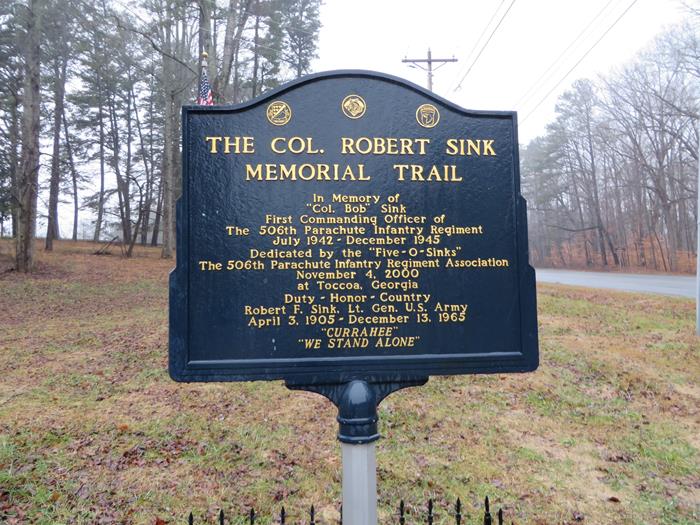
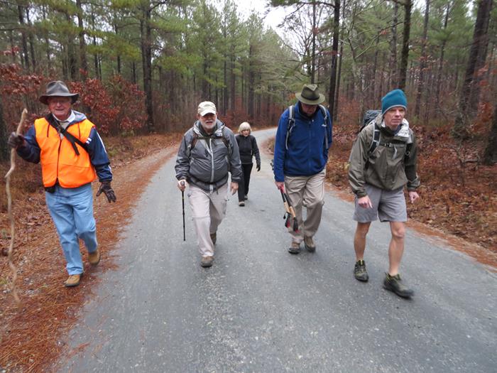
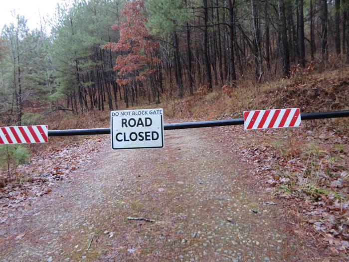
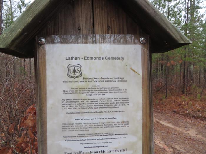
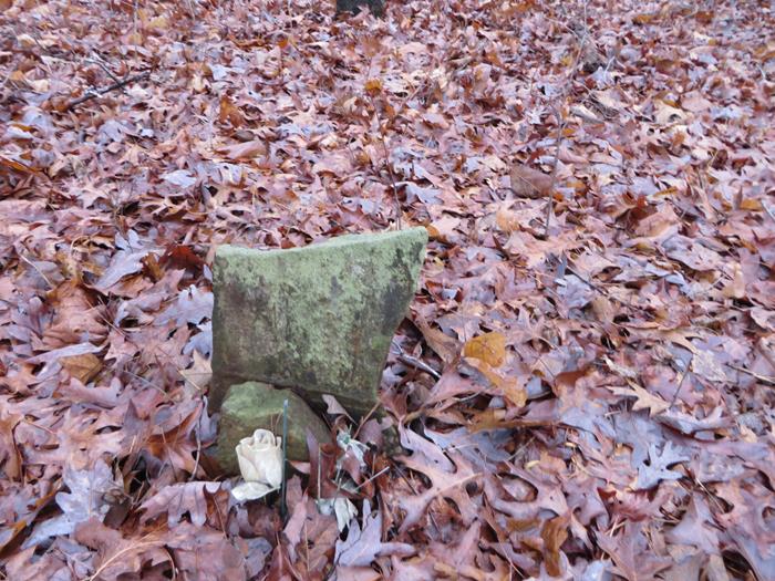
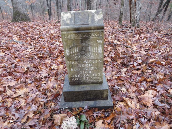
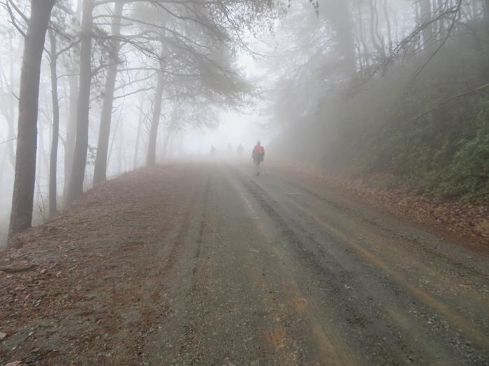
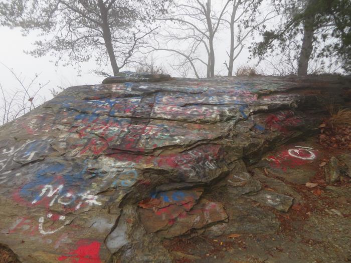
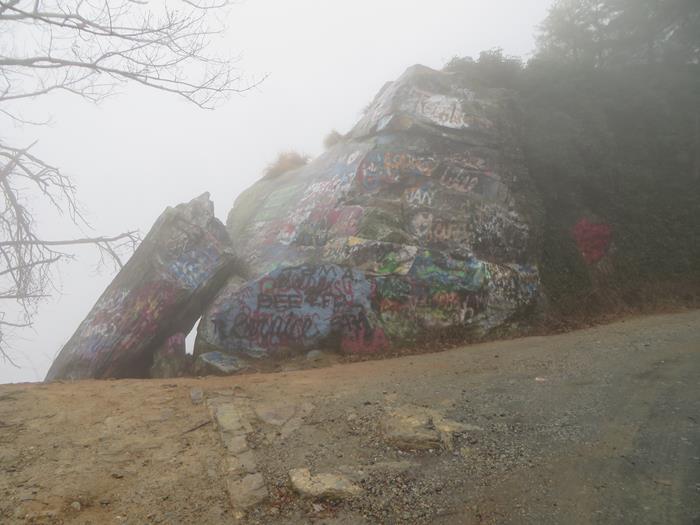
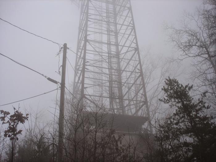
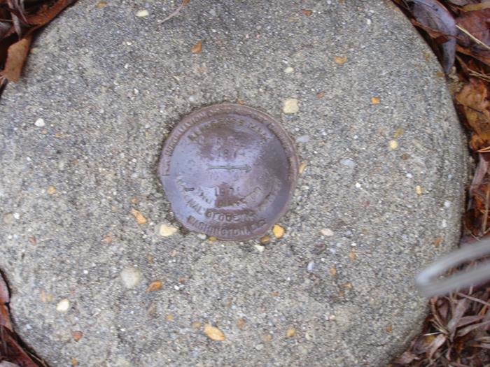
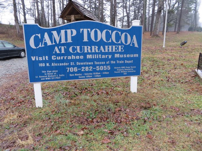
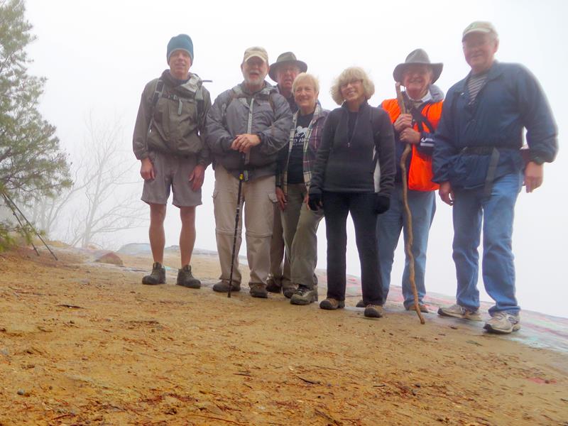
TRAIL INFO. – This hike to the summit of Currahee Mt. is on a dirt/gravel road that is in excellent shape for hiking or running. This is the exact road that the paratroopers trained on to become qualified to serve in the U.S. Army’s newest division “The Airborne” in the early 1940’s. The soldiers were put through very rigorous training that included the famous “Three Miles Up – Three Miles Down” from Camp Toccoa to the summit and back. TODAY’S HIKERS: Joe Collins, Pam Euliss, Stephen Gales, Tim Hale, Bob Magee, Jeanne O’Connor and Tony Presley. Total hiking distance today – 8 miles with large elevation change. Difficulty rating – Moderate. DIRECTIONS: From the north headed toward Toccoa on Highway 17 (4-lane), you will be coming down a mountain and at the bottom, turn right at the 1st traffic light (Jeanette Jameson Intersection) travel 2.3 miles to Robert Sink Rd. on the left (the gravel road just before the entrance rd. to Patterson Pump, inc. If you are coming from Toccoa, take Highway 123 (Currahee St) West about 4 miles and continue straight at the Jeanette Jameson intersection (Shell station) Drive 2.3 miles to Robert Sink Rd. on the left just before Patterson Pump, Inc. Another great day for a hike! Cloudy, cool, heavy fog at the summit, with temperatures ranging in the low 40’s. WILDFLOWERS IN BLOOM: None BIRDS IDENTIFIED: White-breasted Nuthatch, Carolina Wren, Towhee, Cardinal and Tufted Titmouse.
|