October 20, 2015
|
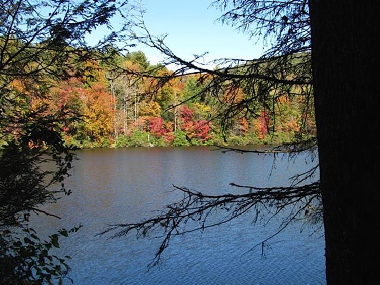
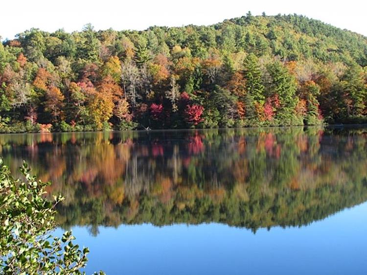
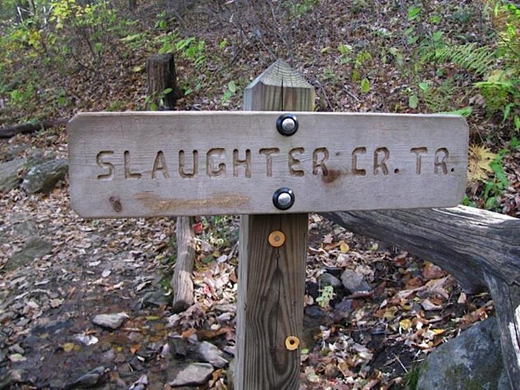
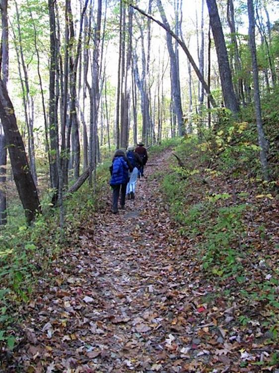
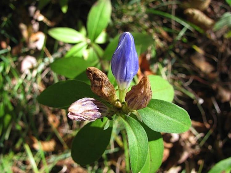
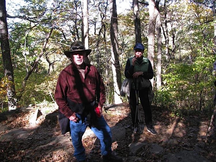
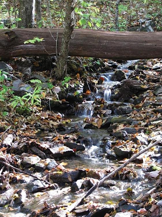
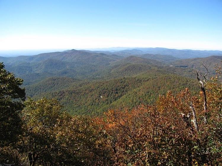
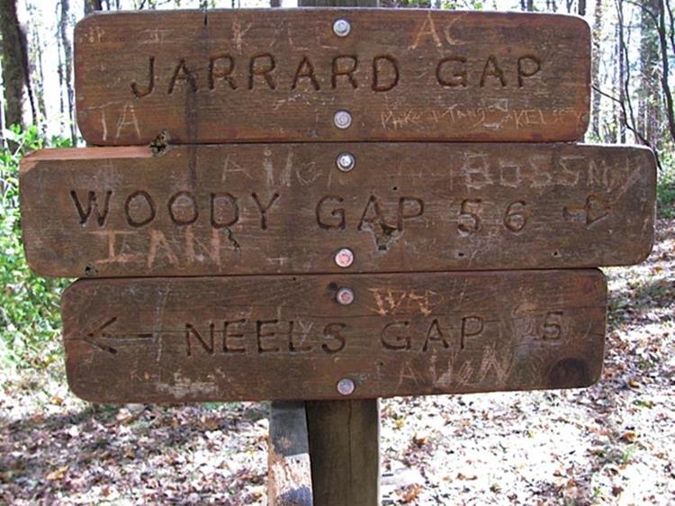
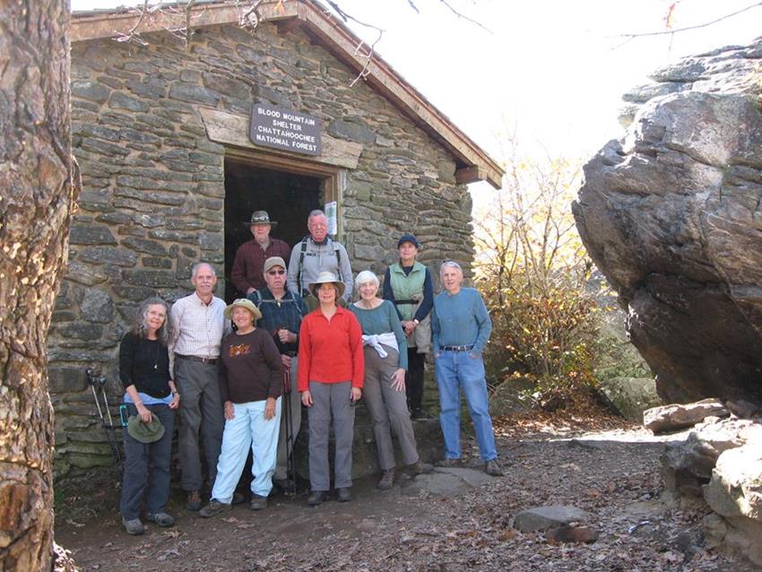
Today’s hike was a loop hike to Blood Mountain starting out at Lake Winfield Scott on the Slaughter Creek Trail up to the A.T. then on up to Blood Mountain for lunch then back down to the Slaughter Creek intersection then down the A.T. to Jarrard Gap then down the Jarrard Gap Trail to Lake Winfield Scott. HIKERS – Mike Bell, John Bellamy, June Bellamy, Karen Brown, Stephen Gales, Greta Driggers, Tim Hale, Jeanne O’Connor, Vic Robson and Carole Wintle. TRAIL INFORMATION – The trailhead today was near the dam at Lake Winfield Scott. The hike up to Blood Mountain is uphill most of the way to the Blood Mountain shelter at the summit. This is the highest point on the Appalachian Trail in GA. The trail is in good shape and features very nice mountain views. We rate the hike moderately strenuous due to elevation gain up to the summit of Blood Mt. Directions: From Cleveland, GA, travel North on Highway 129 for 21.3 miles and turn left just past Vogel State Park onto Highway 180. Continue on Highway 180 (Wolf Pen Gap Rd) for 6.7 miles and turn left at Lake Winfield Scott Rd to the parking lot. ($5 per car parking fee – seniors $2.50) Another great day for a hike! Sunny and very cool with temperatures ranging from 38 to 50 degrees F. Hiking distance – 8.5 miles. WILDFLOWERS IN BLOOM: Showy Gentian, Goldenrod, White Snakeroot, Ladies Thumb, Brushy Aster. BIRDS IDENTIFIED: Junco, Cardinal, Crow, Blue Jay, Turkey Vulture.
|

