March 29, 2016
|
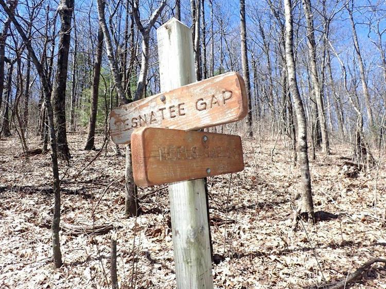
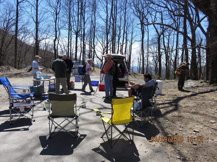
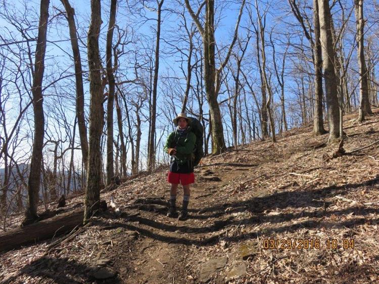
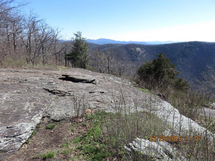
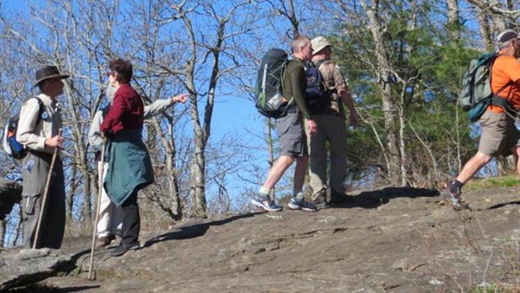
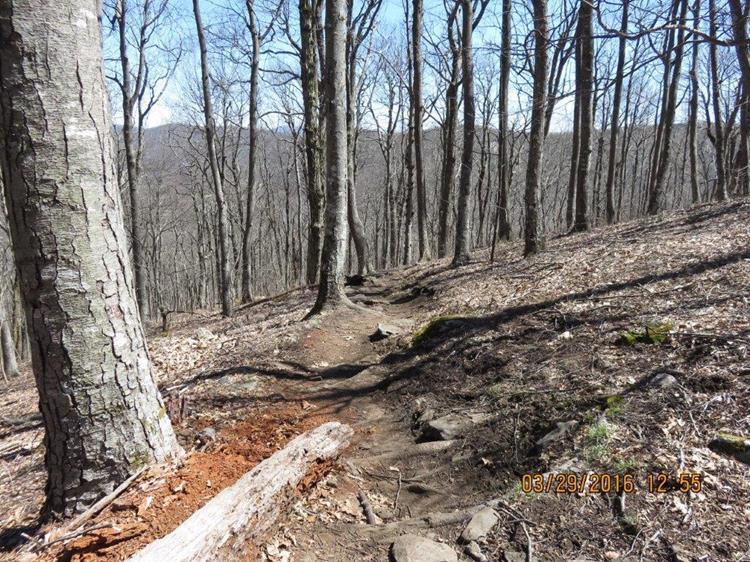
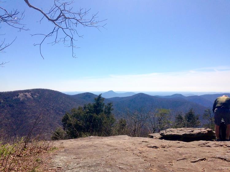
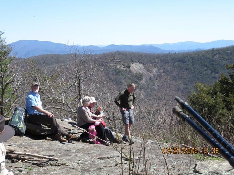
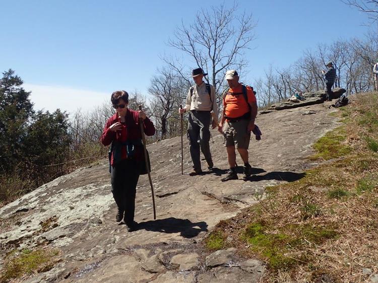
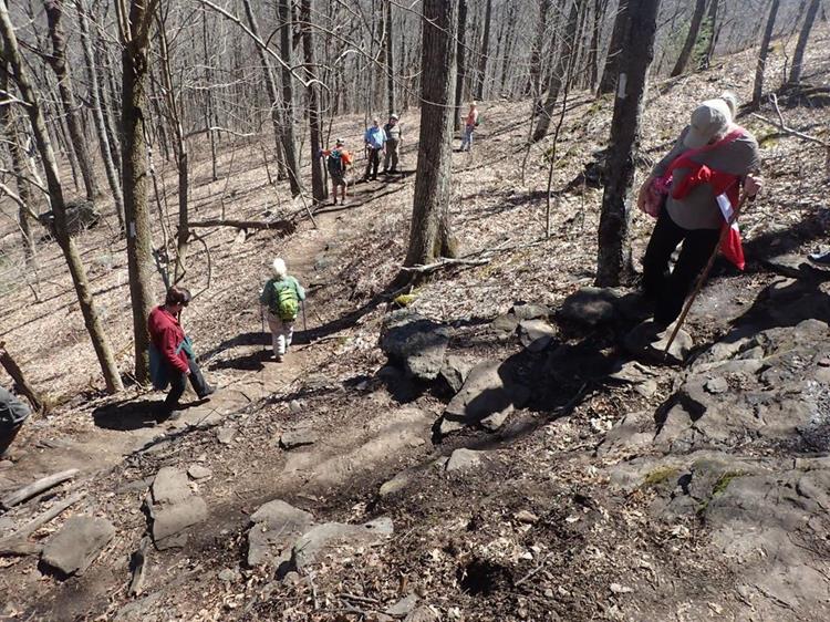
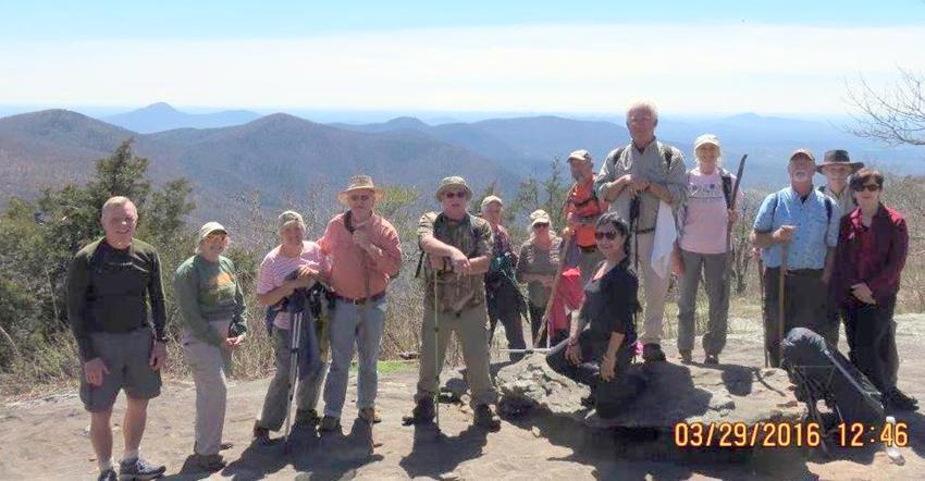
Today’s hike was on the Appalachian Trail in Union County GA . We hiked from Tesnatee Gap to Cowrock Mountain then to Wolf Laurel Top and back. Total of 4.2 miles HIKERS: John Anderson, Geri Barrios, Suzanne Belflower, Jenny Bell, Mike Bell, Ray Clark, Joe Collins, Stephen Gales, David Hinson, Bill Hunt, Trushna Nadig, Jeanne O’Connor, Roger Roy and Marsha Tiesler. TRAIL INFORMATION – This section of the A.T. always offers breathtaking views from Cow Rock Mountain and Wolf Laurel Top. The very best views are on a side trail to the back side of Cow Rock to a large rock lookoff. The first part of the hike takes you up a steep climb of one mile to the summit of Cow Rock Mountain then a less challenging walk over to Wolf Laurel Top. We met over 40 thru-hikers on their journey to Maine. Photos at the bottom of the page. We rate the hike strenuous due to elevation changes but the views make it more than worth the effort. . Directions: Take GA 75 north from Helen for 1.5 miles. Turn left onto GA 356(75 Alternate) and travel 2.3 miles to the Richard B. Russell Scenic Highway (GA 348). Turn right and travel about 9.5 miles to Tessnatee Gap. The parking lot is on the left. Another great day for a hike! Mostly to partly cloudy, mild with temperatures ranging from 52 to 68 degrees F. Hiking distance – 4.2 miles. WILDFLOWERS IN BLOOM: Bloodroot, Cinquefoil, Bluets, Redbud, Toadshade Trillium, Red Maple and many Pines. BIRDS IDENTIFIED: Carolina Chickadee, Carolina Wren, Tufted Titmouse, Red-bellied Woodpecker, Pileated Woodpecker and Turkey Vulture.
|

