April 5, 2016
|
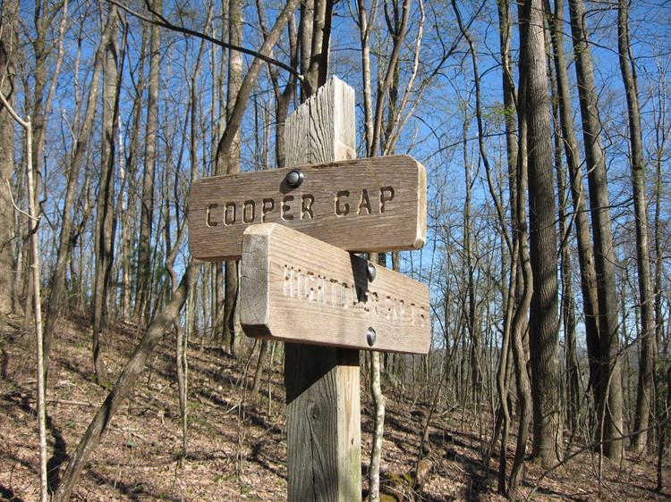
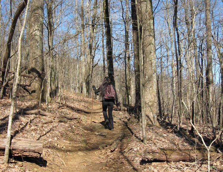
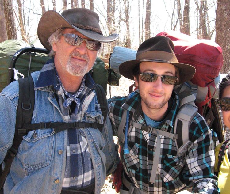
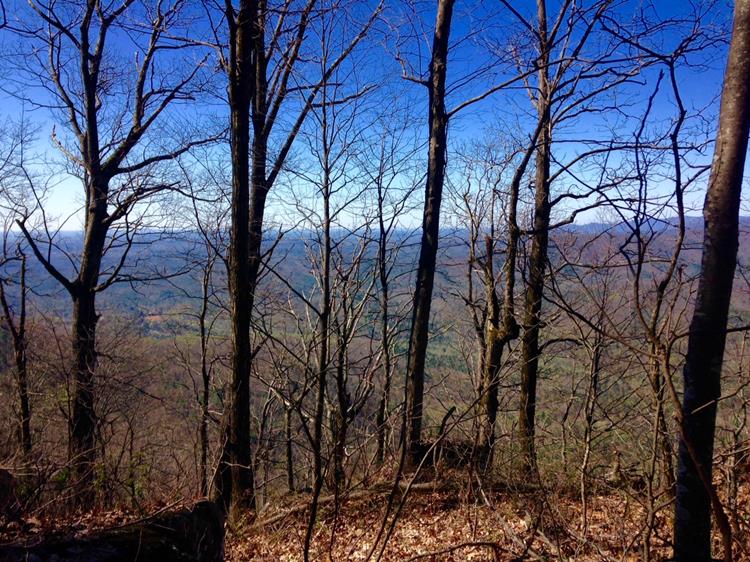
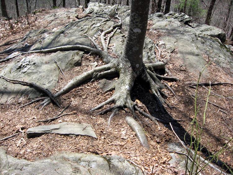
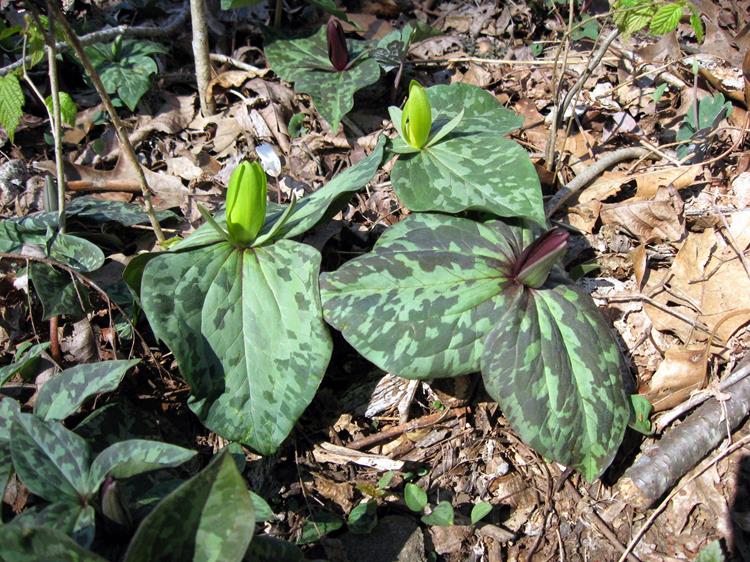
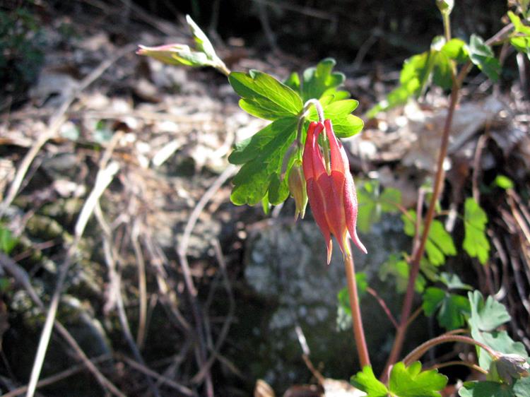
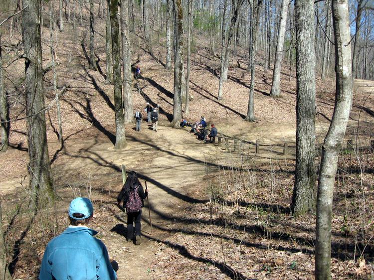
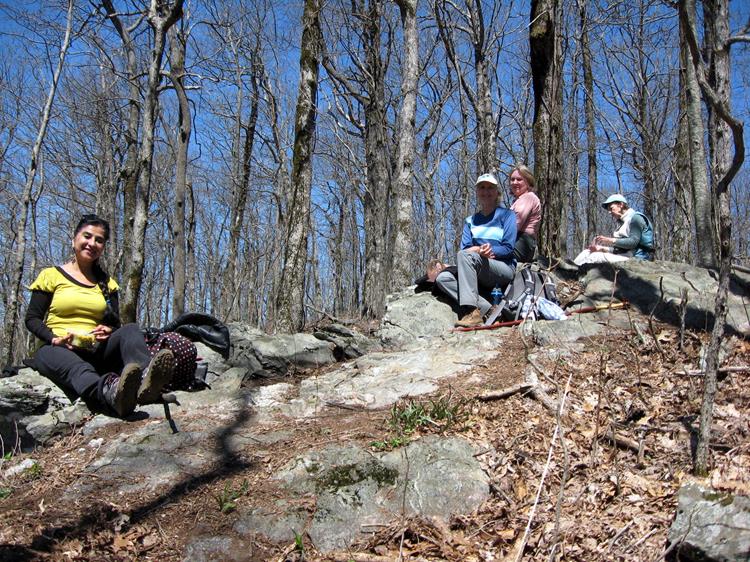
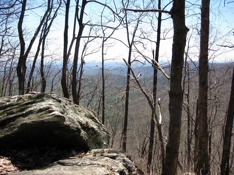
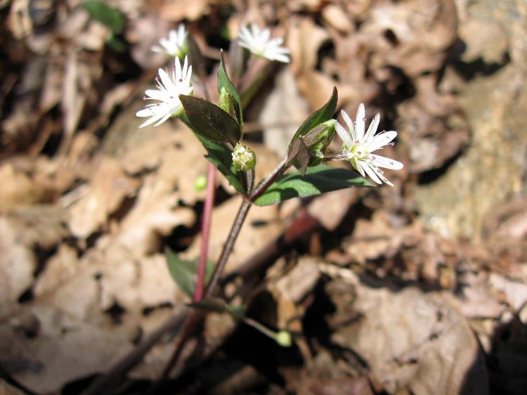
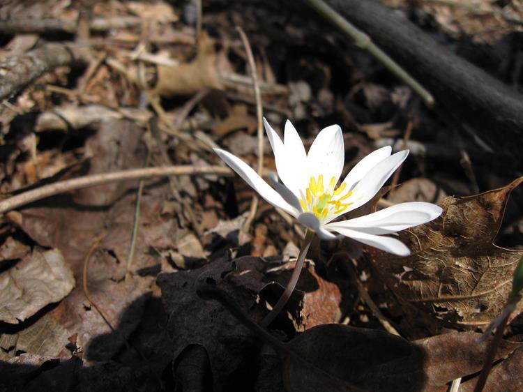
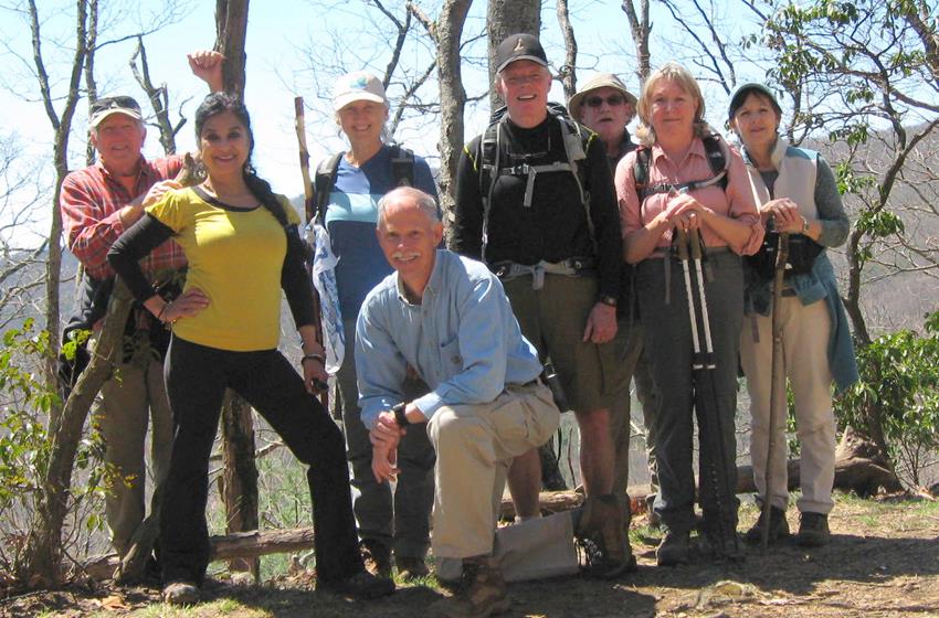
Today’s hike was on the Appalachian Trail starting at Cooper Gap hiking to Hightower Gap and back. This strenuous portion of the A.T. took us to within 8 miles of the southern terminus of the 2,175 mile trail. Lots of Thru-Hikers from many areas of the US and world including, England, New Jersey, Maine, Colorado, Montana, Florida, South Carolina, Louisiana, North Carolina, Tennessee, Kentucky, and Georgia. HIKERS – Vic Robson, Suzanne Belflower, Stephen Gales, Ray Clark, Mike Bell, Jenny Bell, Angela Evans, Trushna Nadig TRAIL INFORMATION – A beautiful portion of the Appalachian Trail in Lumpkin County, GA. From Cooper Gap headed south on the trail you immediately climb over Sassafras Mountain and the trail rolls up and down until you get to the intersection of forest service roads 42 and 69 at Hightower Gap. We rate the hike very strenuous due to lots of elevation changes and very rocky path in many sections. Directions: Take Hwy. 129 N from Cleveland, GA for about 15 mi. then turn left at Turner’s Corner and travel several miles to Hwy 60 (rock pile) turn right and drive to the top of the mountain and continue past the A.T. crossing at Woody Gap. Going down the mountain to Suches (you will see the lake on your right) turn left onto Cooper Gap Road which becomes a gravel Forest Service Rd. 42 and continue approx. 8.5 miles to Cooper Gap (it is at the intersection of 3 forest service roads 42, 80 and 15). Another great day for a hike! Partly Cloudy with temperatures ranging from the mid 40s to low 60’s degrees F. Hiking distance – 7.6 miles. FLOWERS IN BLOOM: Bloodroot, Yellow Toadshade Trillium, Purple Toadshade Trillium, Star Chickweed, Columbine, Cut-leaf Toothwort, Mayapple and Rue Anemone. BIRDS IDENTIFIED: Carolina Chickadee, Carolina Wren, Tufted Titmouse, Red-bellied Woodpecker, Pileated Woodpecker and Turkey Vulture.; |

