February 14, 2017
|
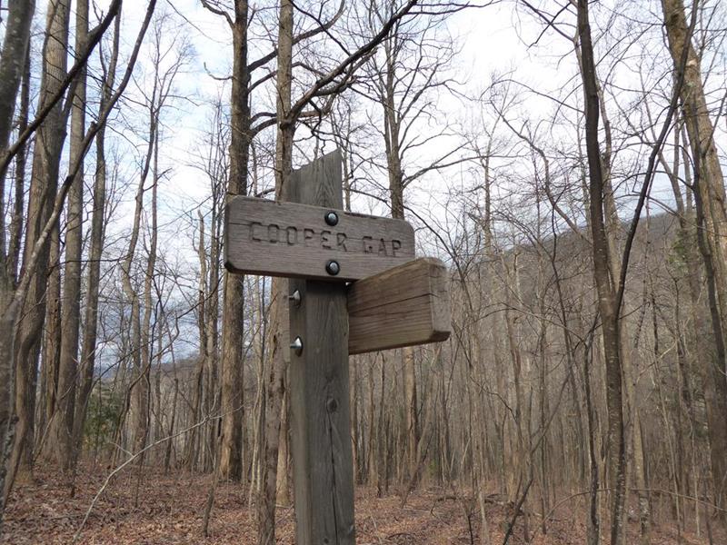
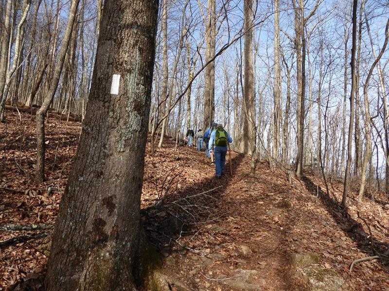
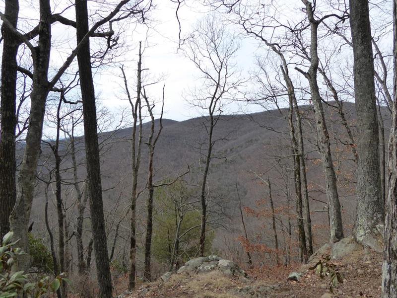
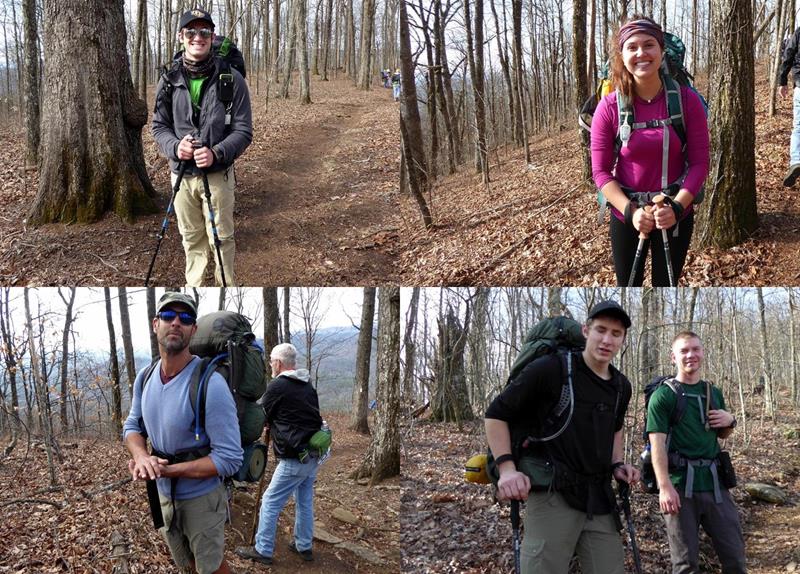
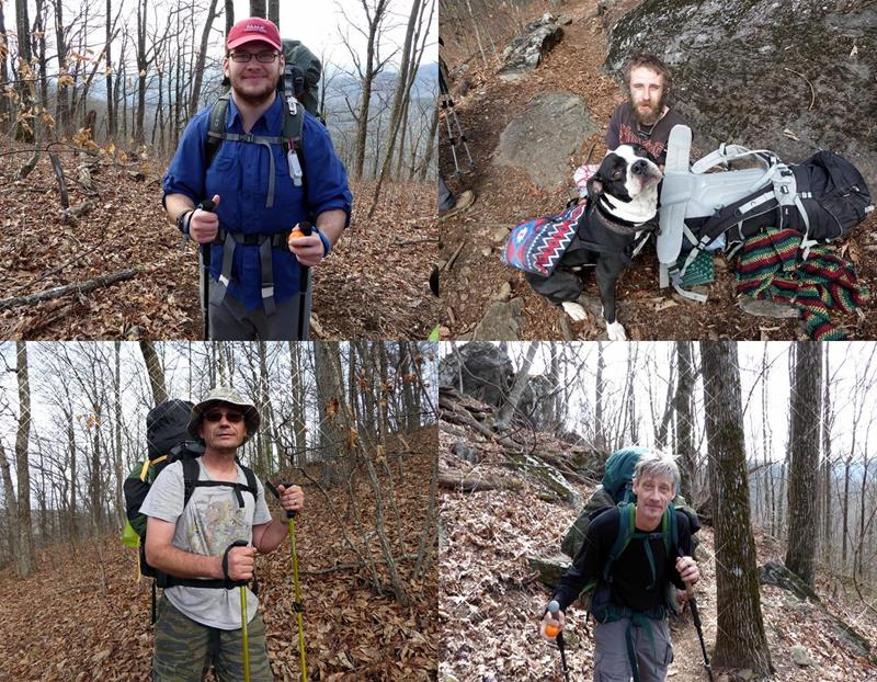
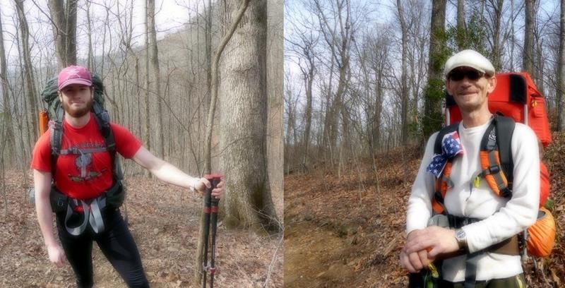
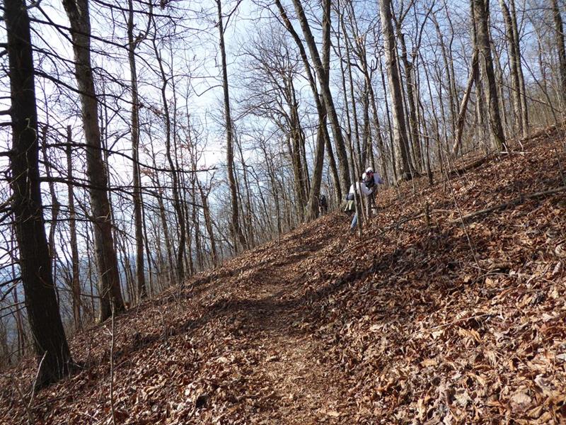
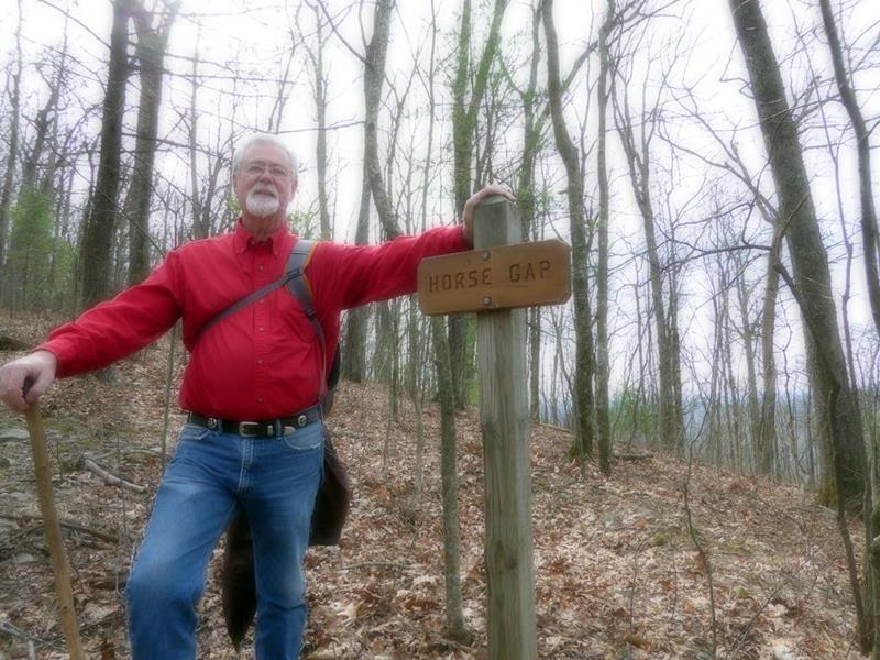
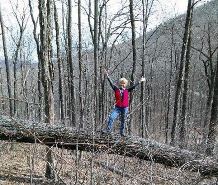
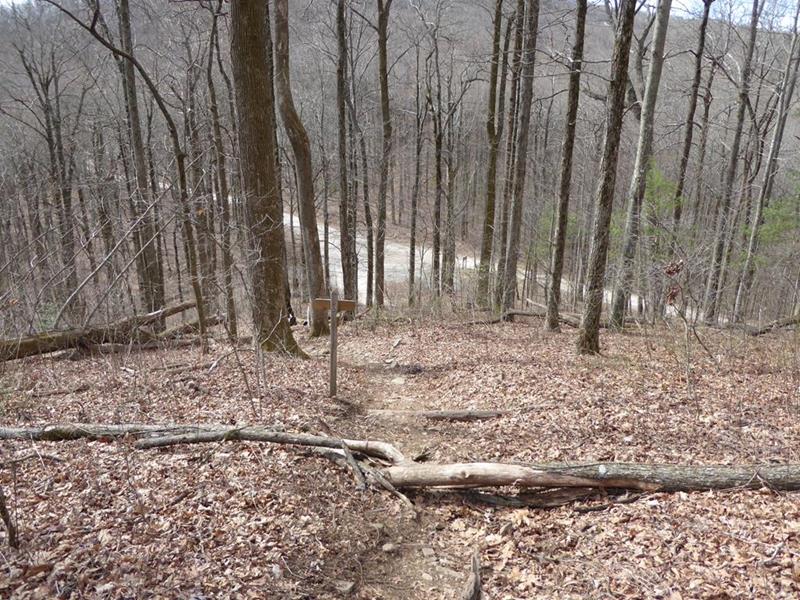
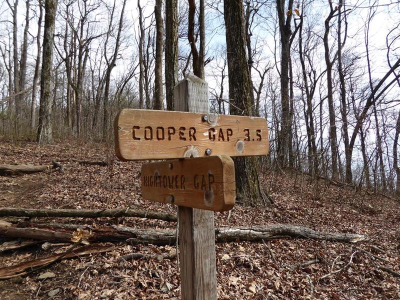
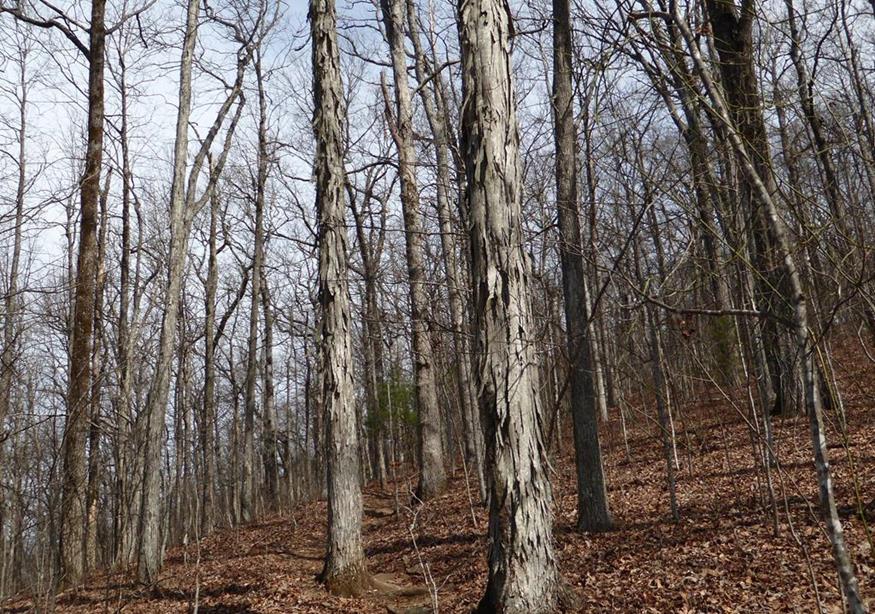
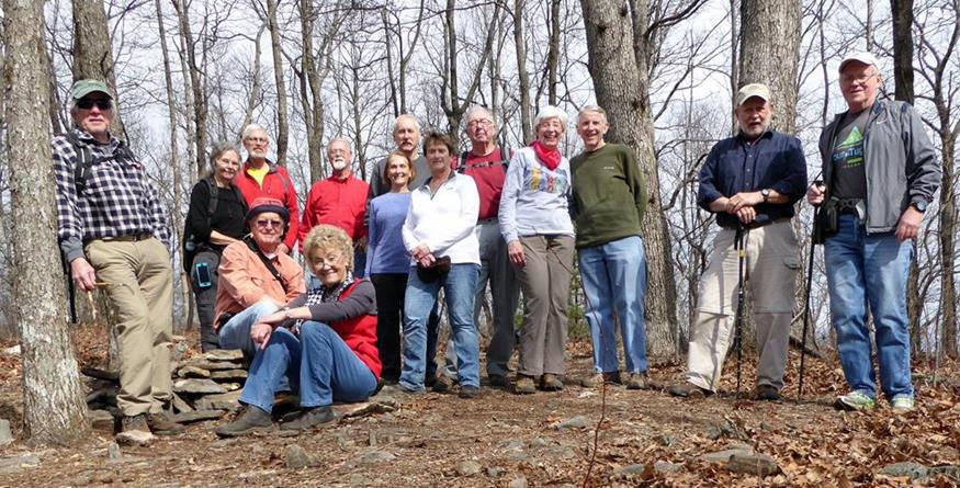
Today’s hike was on the Appalachian Trail in GA, hiking from Cooper Gap southward to Hightower Gap and back. HIKERS – John Anderson, John Bellamy, June Bellamy, Joe Collins, Stephen Gales, Tim Hale, Gary King, Bob Magee, Beth McDonald, Dave Norton, Mary Lu Norton, Don Pratt, Terre Pratt, Tony Presley, Vic Robson and Carole Wintle. We met 11 northbound thru-hikers from 6 or 7 states on their way to Maine. Early into their adventure, they were only 8-10 miles from the start at Springer Mountain. TRAIL INFO. – This portion of the A.T. is one of the most strenuous in the state of GA. A beautiful portion of the Appalachian Trail in Lumpkin County, GA. From Cooper Gap headed south on the trail you immediately climb over Sassafras Mountain and the trail rolls up and down until you get to the intersection of forest service roads 42 and 69 at Hightower Gap. Directions: Take Hwy. 129 N from Cleveland, GA for about 15 mi. then turn left at Turner’s Corner and travel several miles to Hwy 60 (rock pile) turn right and drive to the top of the mountain and continue past the A.T. crossing at Woody Gap. Going down the mountain to Suches (you will see the lake on your right) turn left onto Cooper Gap Road which becomes a gravel Forest Service Rd. 42 and continue approx. 8.5 miles to Cooper Gap (it is at the intersection of 3 forest service roads 42, 80 and 15). Another great day for a hike! Mostly sunny with temperatures ranging from the mid 40s to upper 50’s F. Hiking distance – 7+ miles FLOWERS IN BLOOM: none. BIRDS IDENTIFIED: Carolina Wren, Tufted Titmouse, Pileated Woodpecker and White-breasted Nuthatch.
|

