March 5, 2019
|
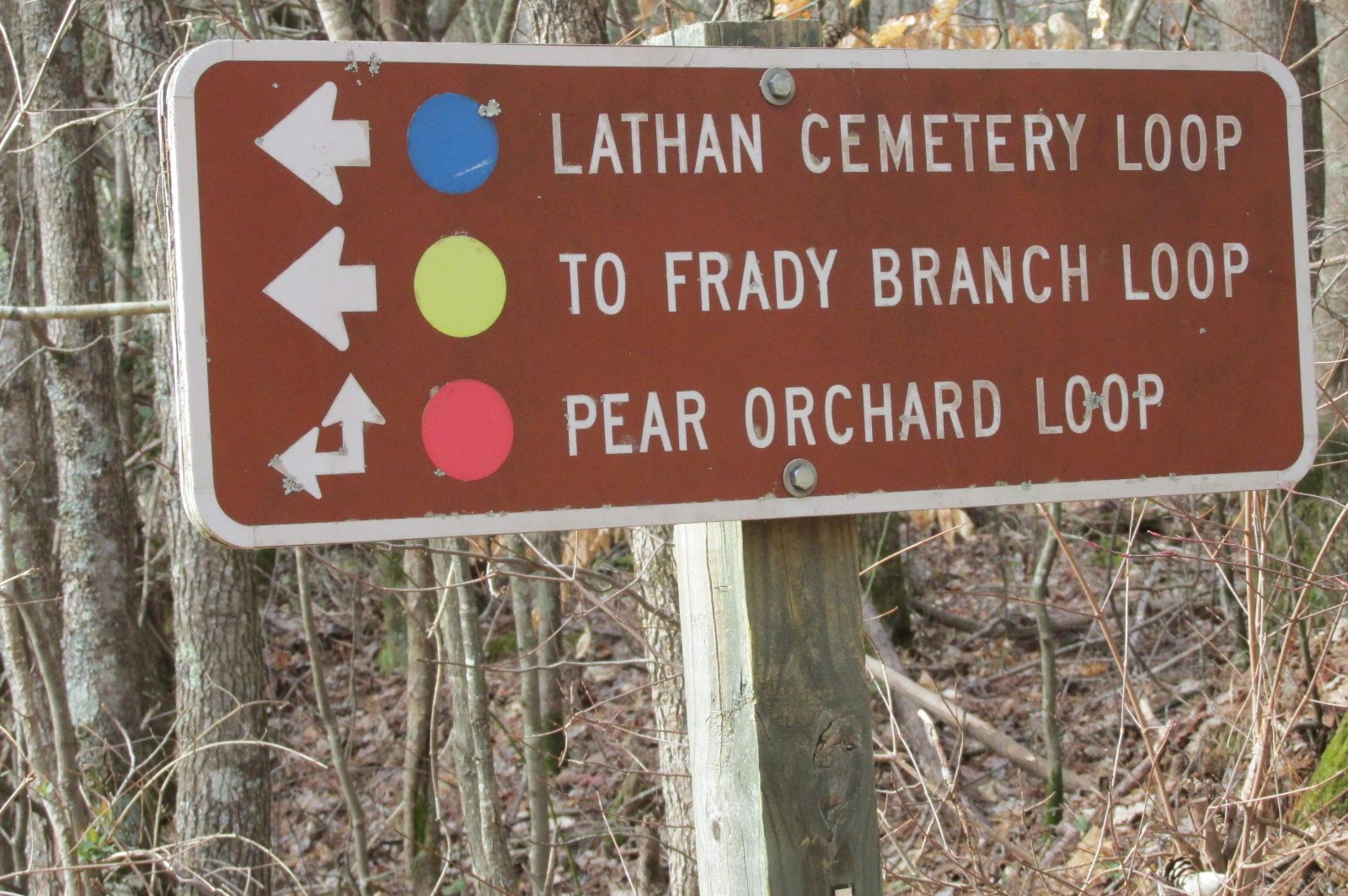
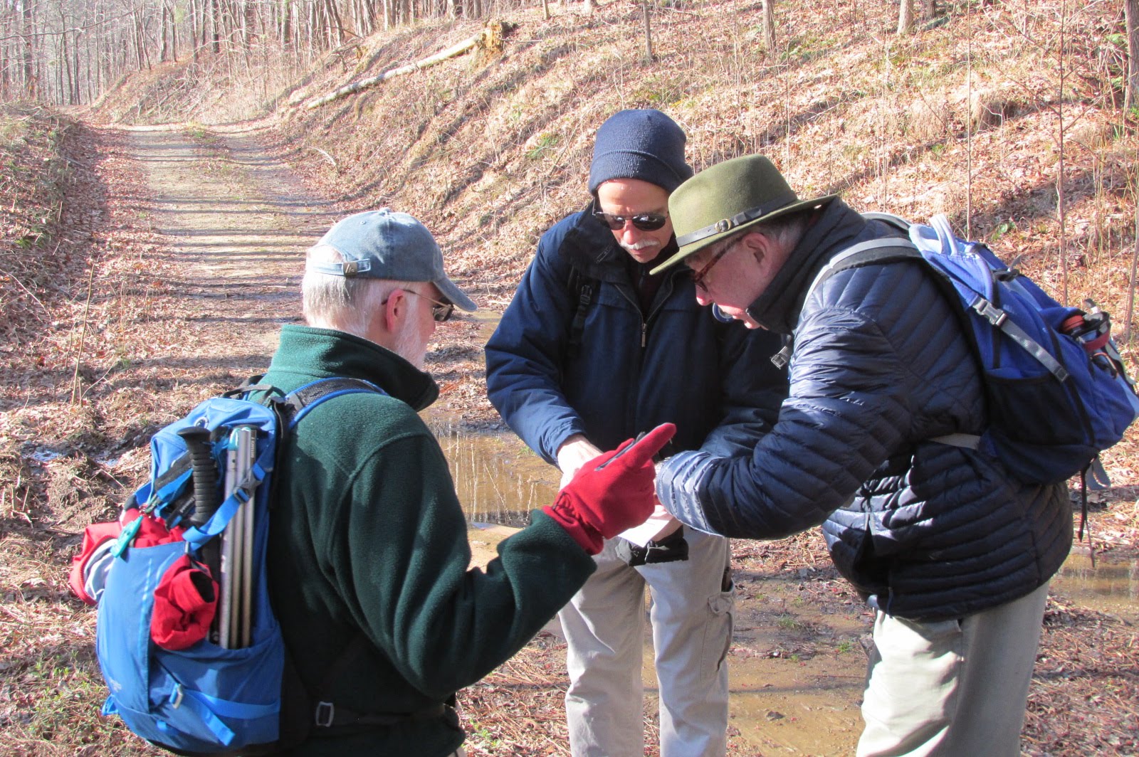
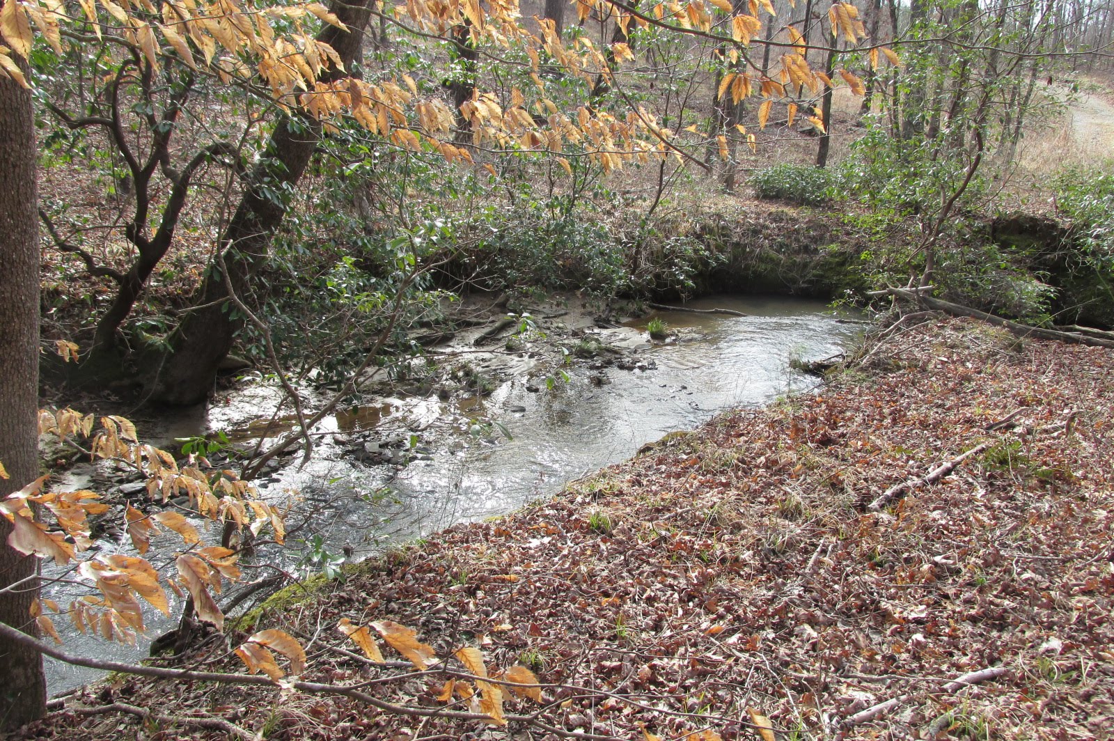
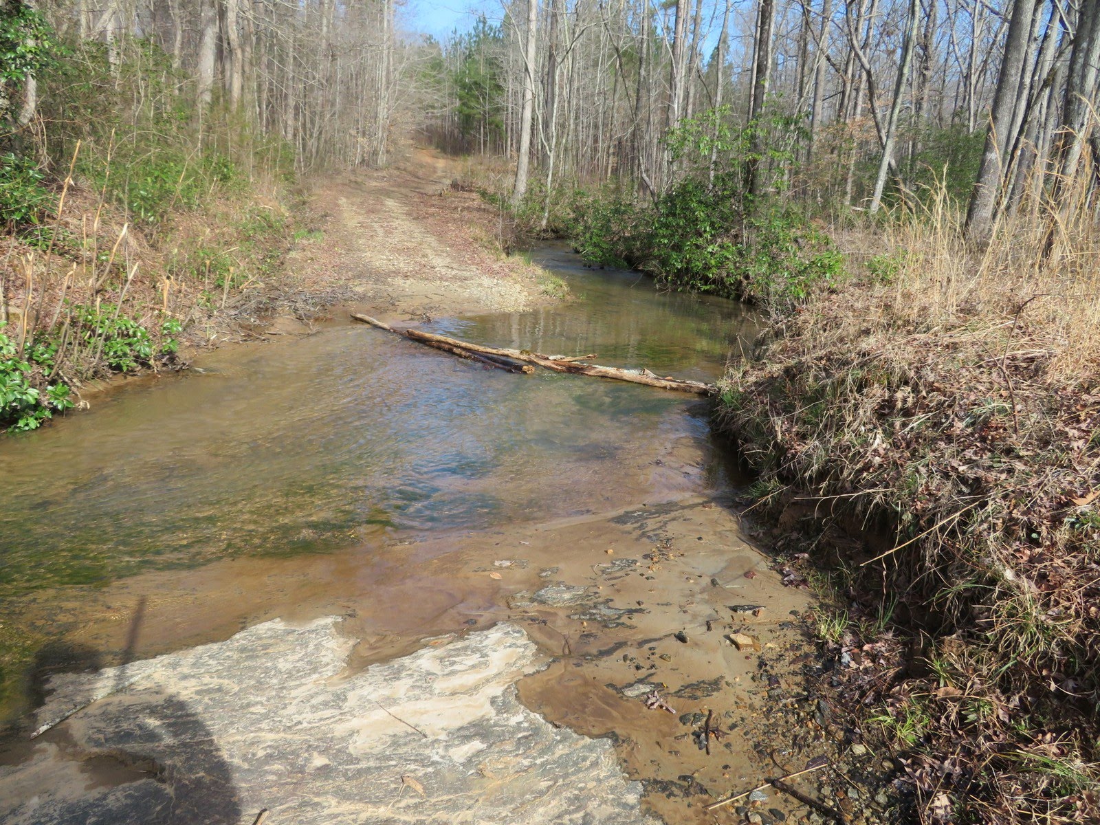
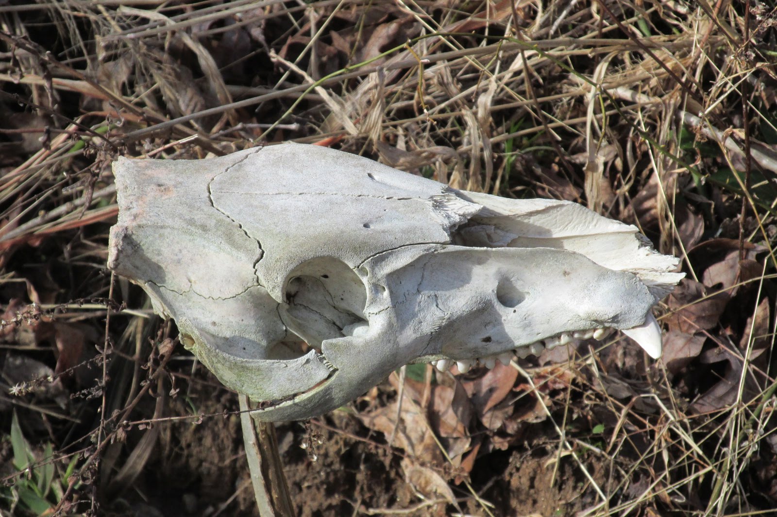
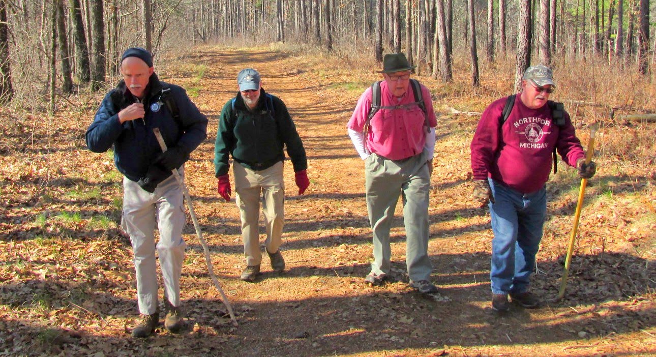
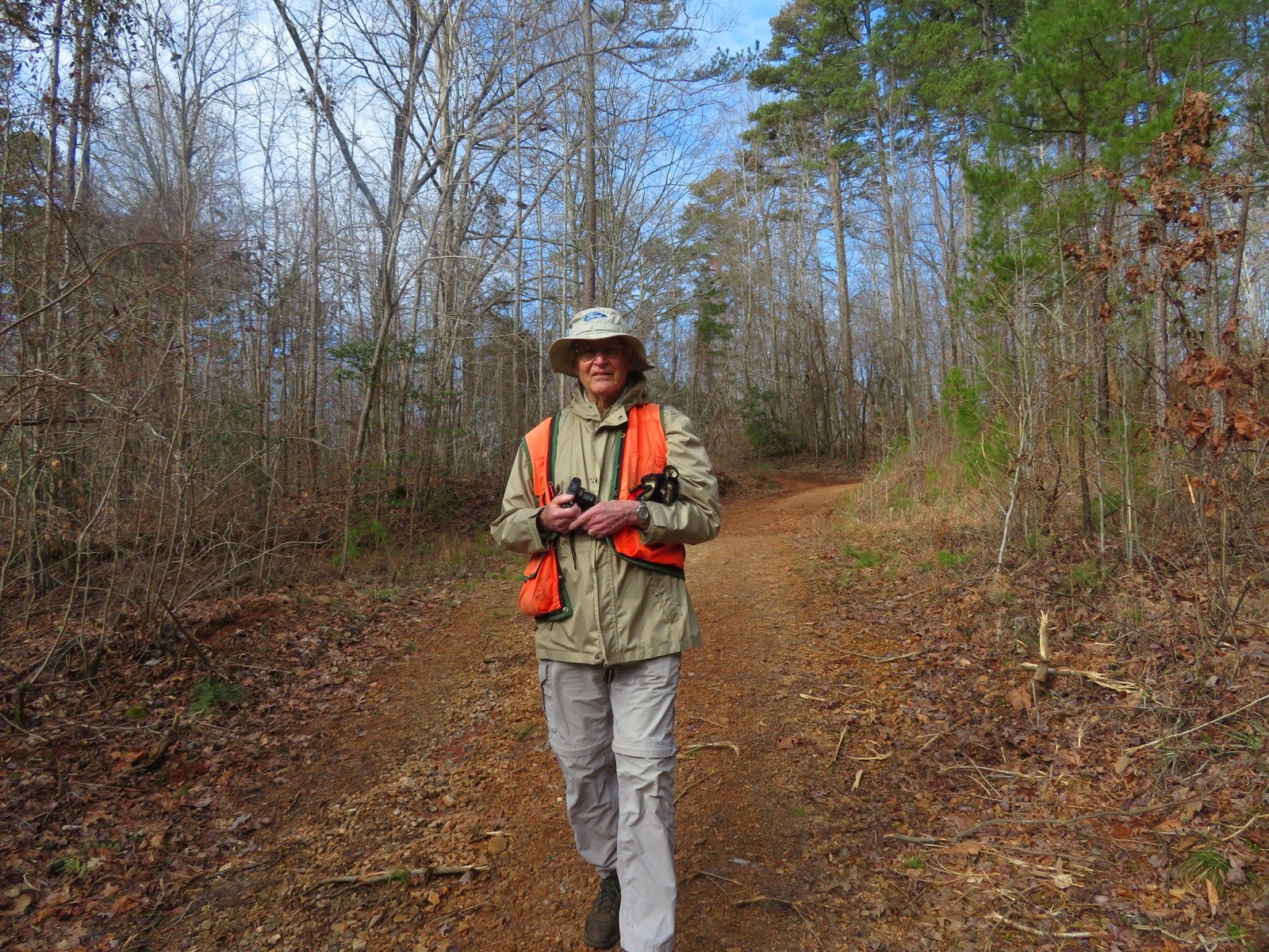
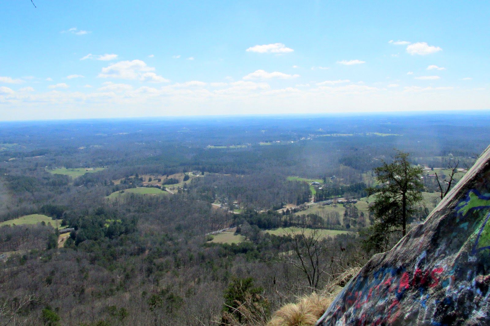
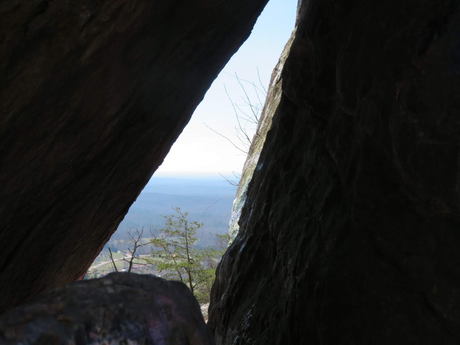
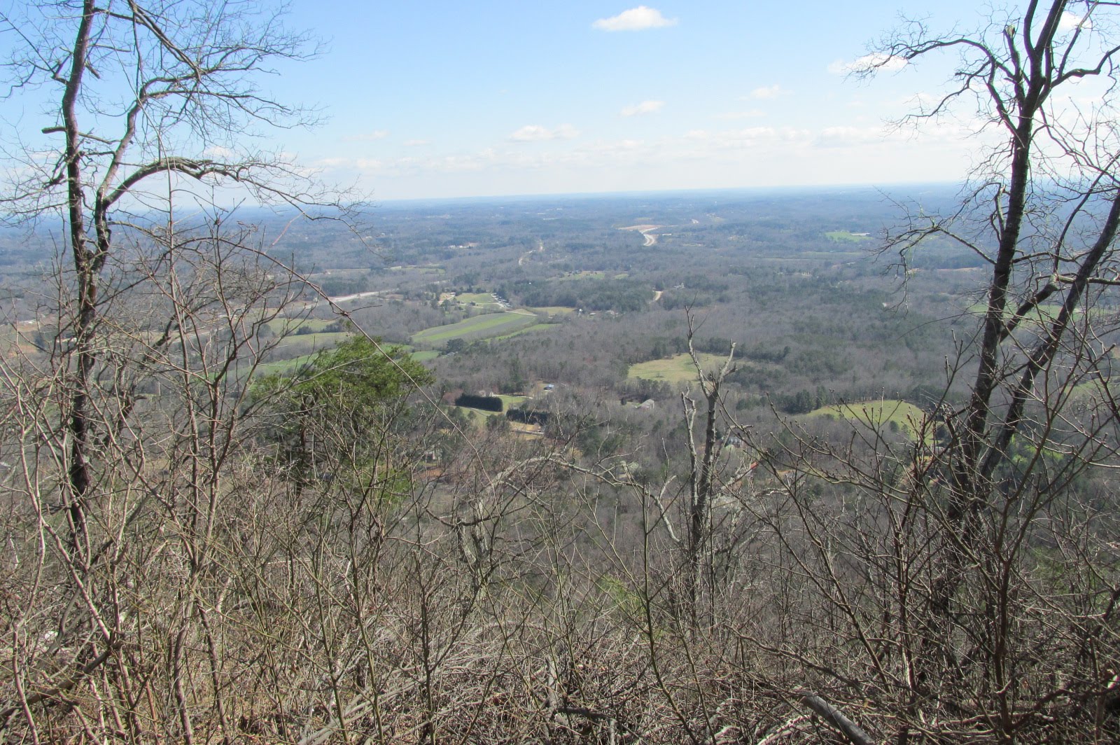
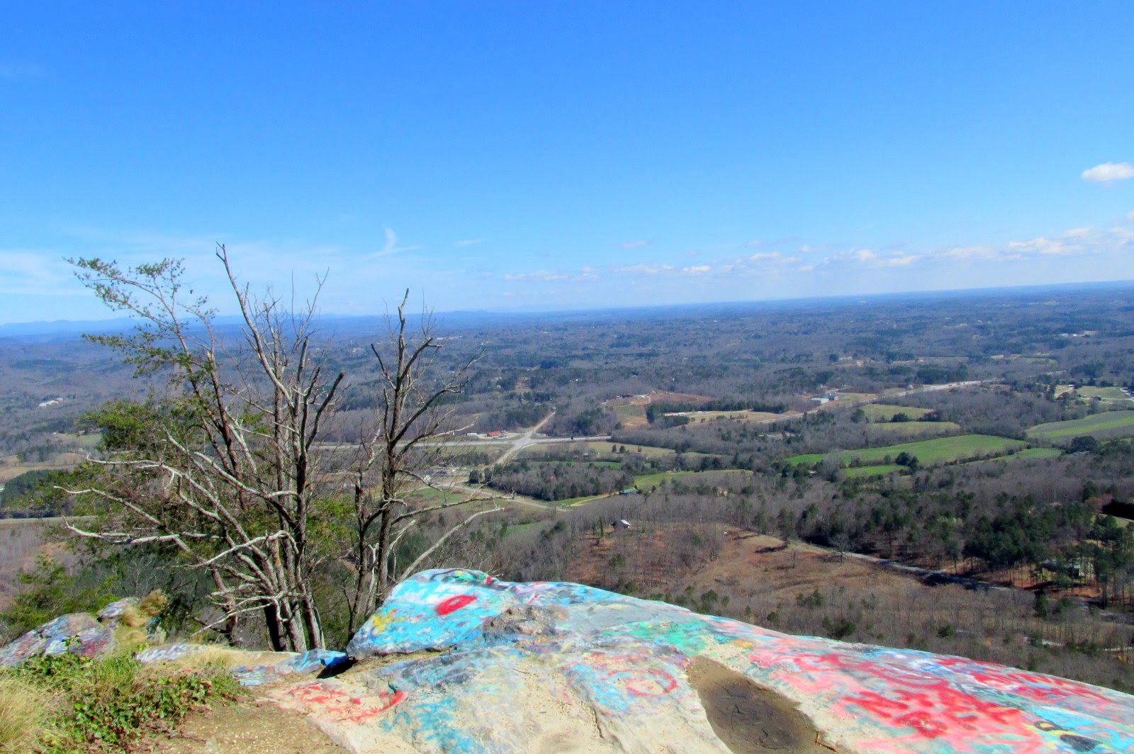
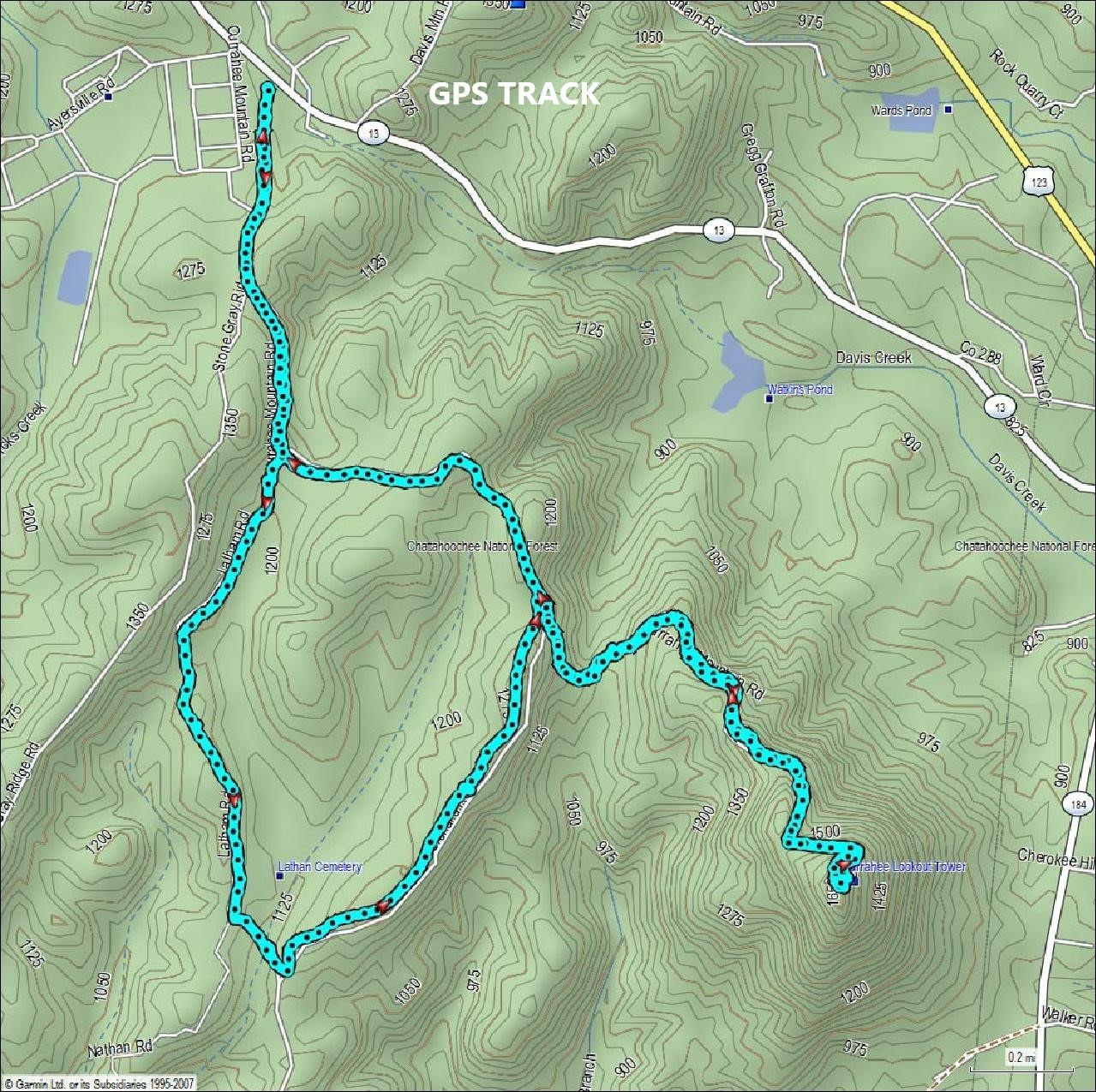
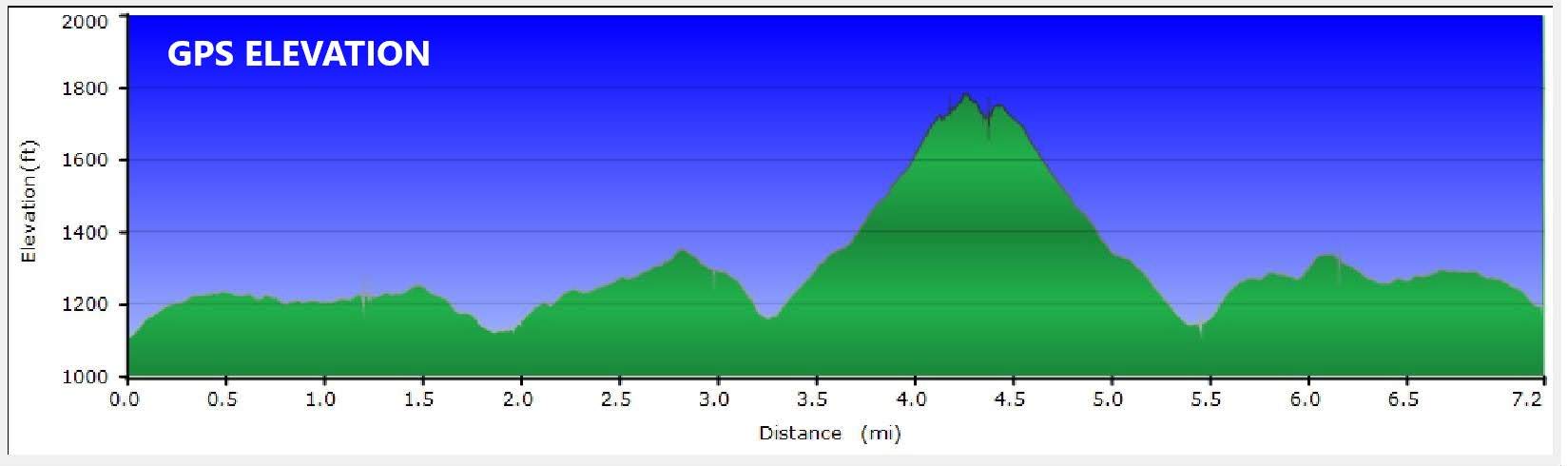
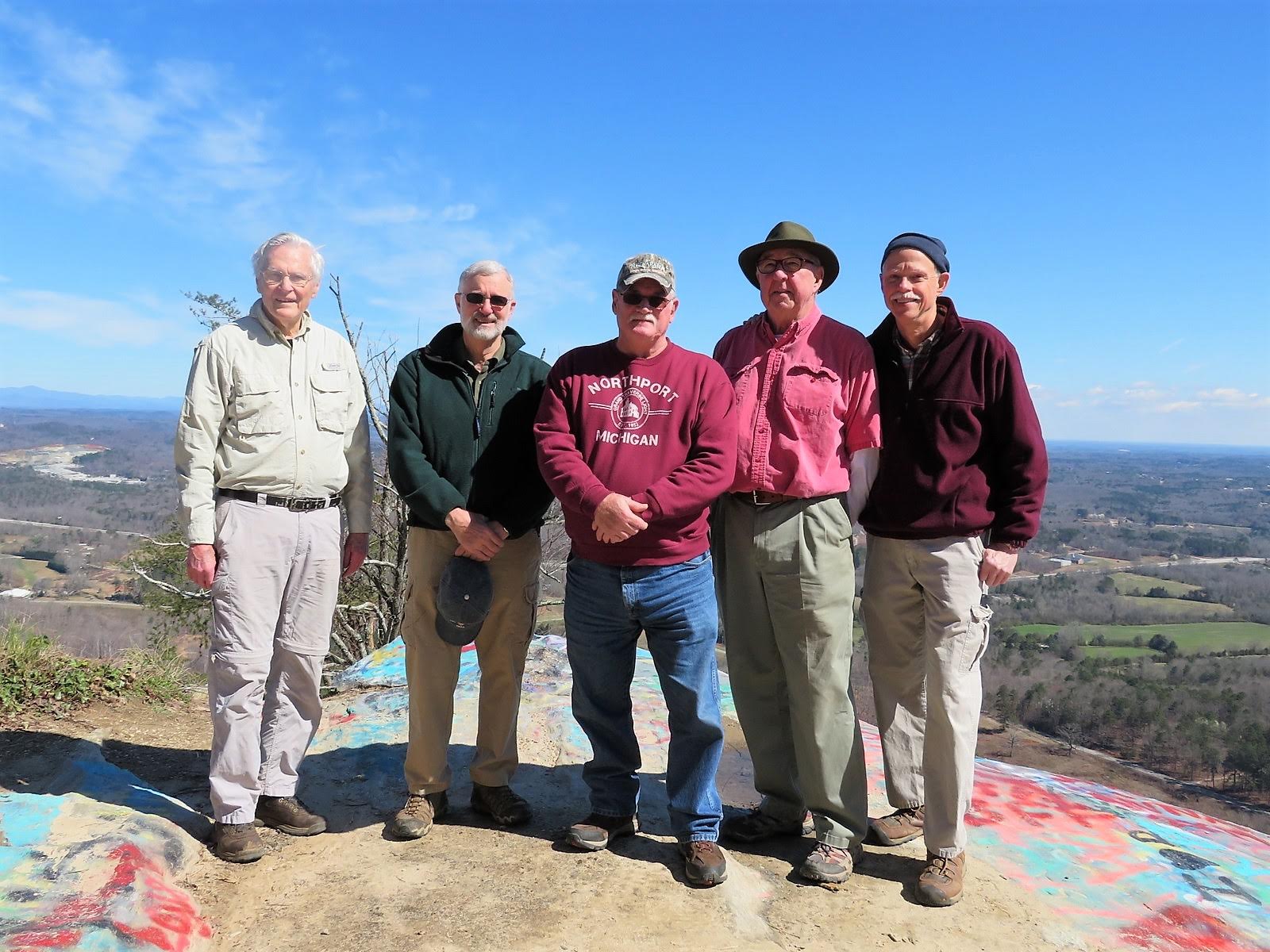
Today’s hike was on the Currahee Mountain Trail and Frady Branch Trail starting at the base of the mountain at historic Camp Toccoa, GA. TRAIL INFO. – This hike to the summit of Currahee Mt. is on a dirt/gravel road that is in excellent shape for hiking or running. This is the exact road that the paratroopers trained on to become qualified to serve in the U.S. Army’s newest division “The Airborne” in the early 1940’s. The soldiers were put through very rigorous training that included the famous “Three Miles Up – Three Miles Down” from Camp Toccoa to the summit and back. We also hiked a couple of miles on the Frady Branch Trail System. We accessed the Lathan Cemetery Loop trail by taking the second road (gated) to the right as we hiked up from the trailhead. TODAY’S HIKERS: Mike Bell, Ray Clark, Tim Hale, Ray Lovett and Dick Metzgar. Total hiking distance today – 7.2 miles with large elevation change. Difficulty rating – Moderate to strenuous. DIRECTIONS: From the NORTH headed toward Toccoa on Highway 17 (4-lane), you will be coming down a mountain and at marker 57, turn right onto Davis Mt. Rd and continue a quarter mile or so and bear left when you come to a fork in the road and continue and you will dead end onto Dicks Creek Parkway turn right and the parking area will be immediately on your left. From TOCCOA there is a TEMPORARY DETOUR! Highway 123 is closed beyond the Jameson intersection: Therefore continue up the 4 lane to marker 57 and turn left onto Davis Mt. Road then continue a quarter mile or so and bear left when you come to a fork in the road continue and you will dead end onto Dicks Creek Parkway turn right and the parking area will be immediately on your left. Another great day for a hike! Fair, cool, great views at the summit, with temperatures ranging from 35-45.
|