March 26, 2019
|
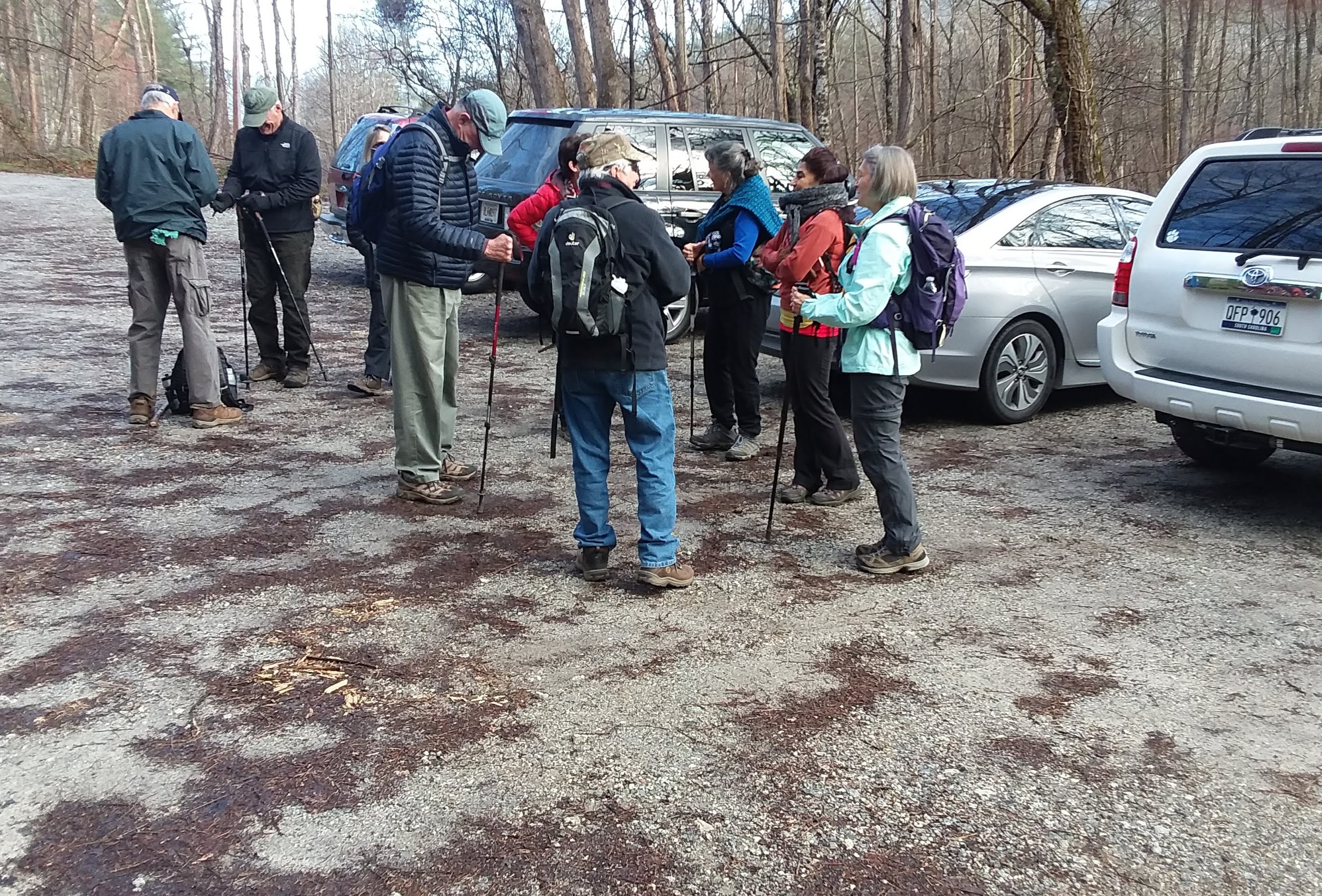
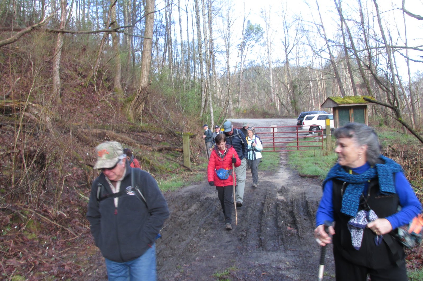
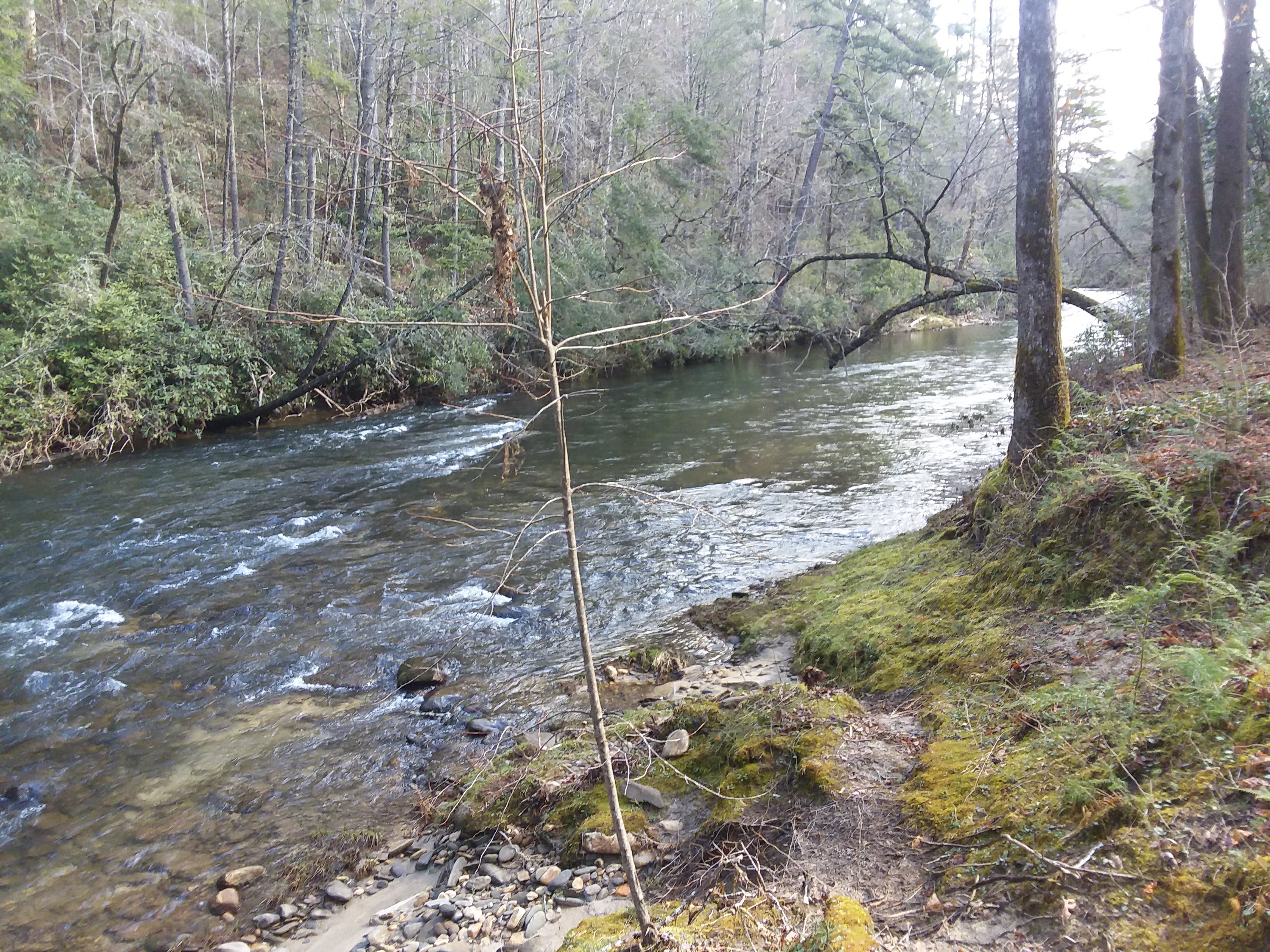
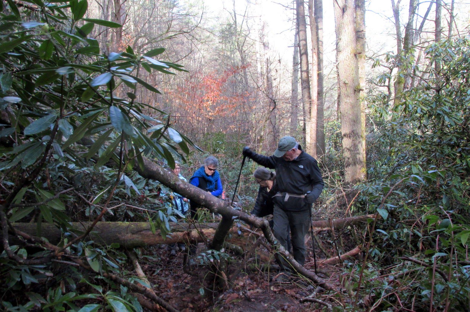
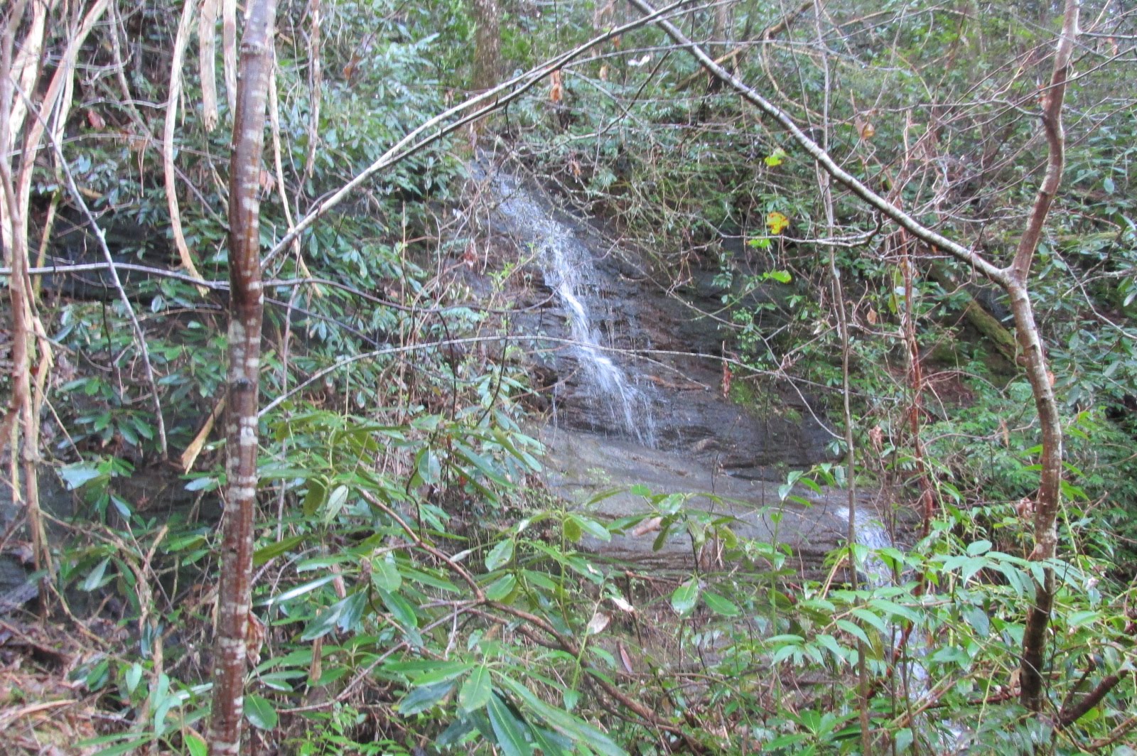
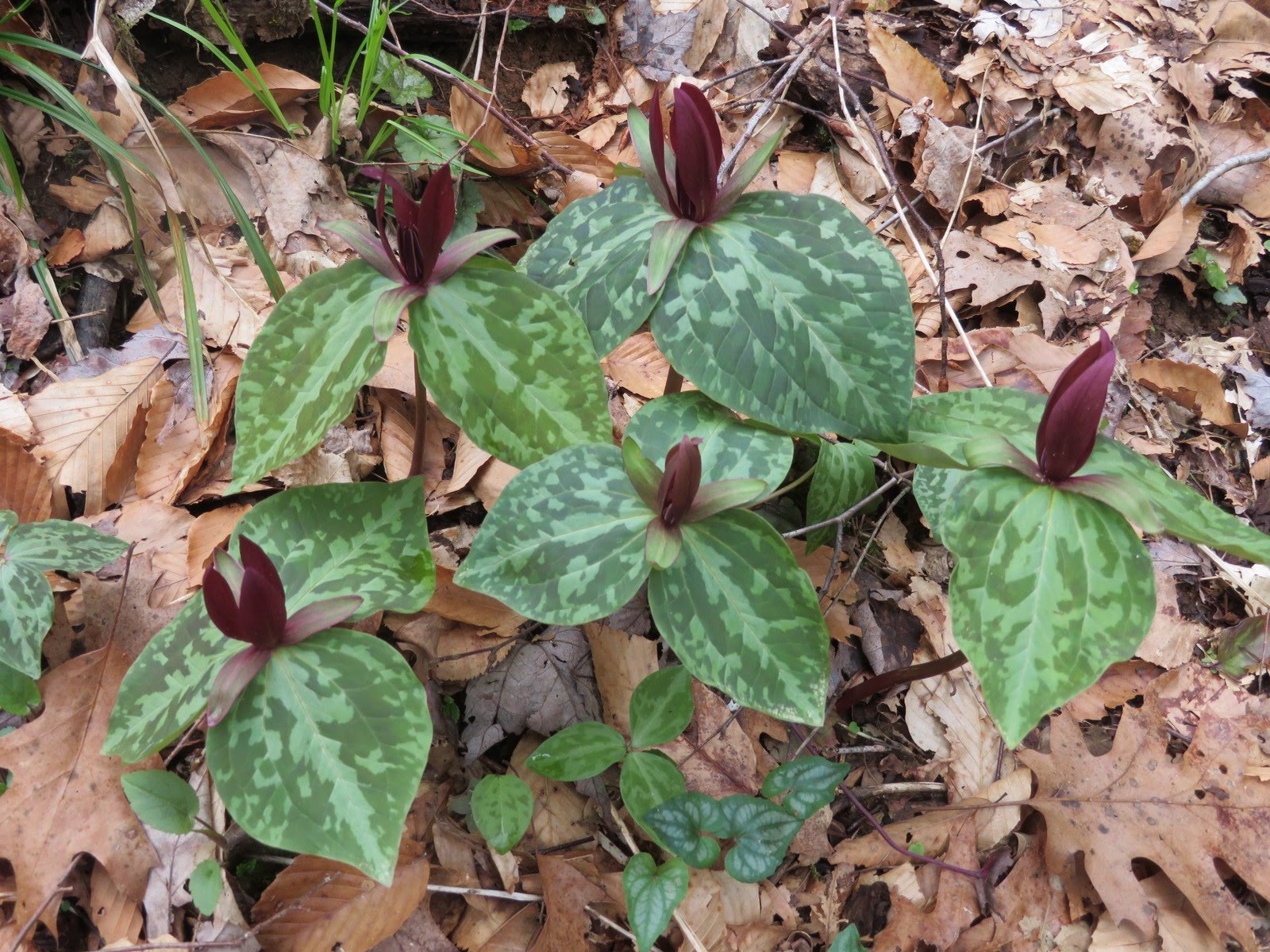
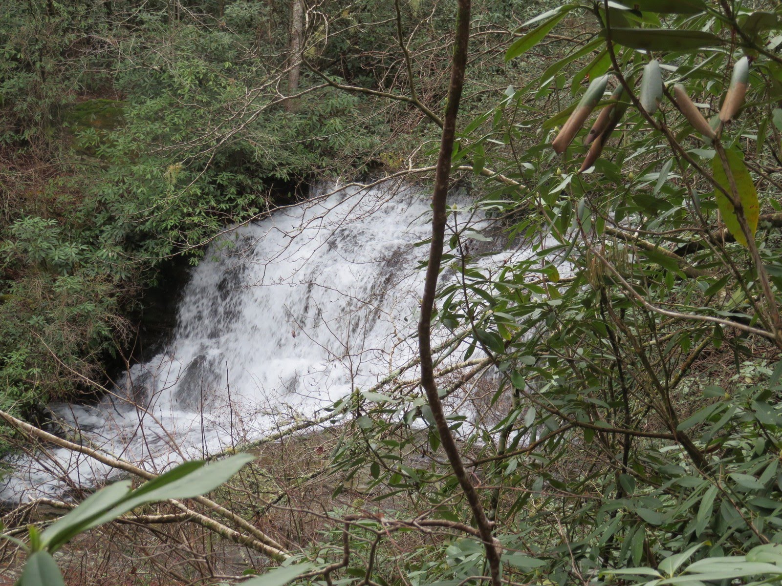
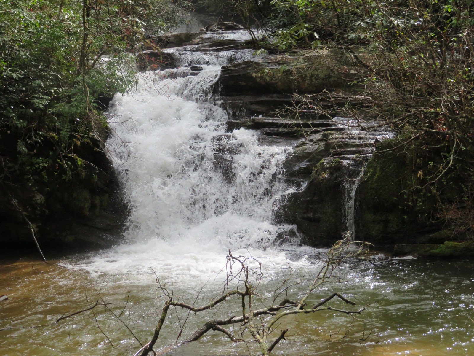
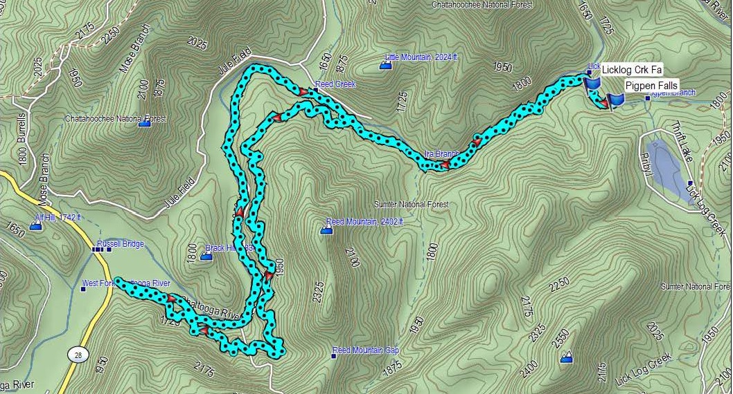
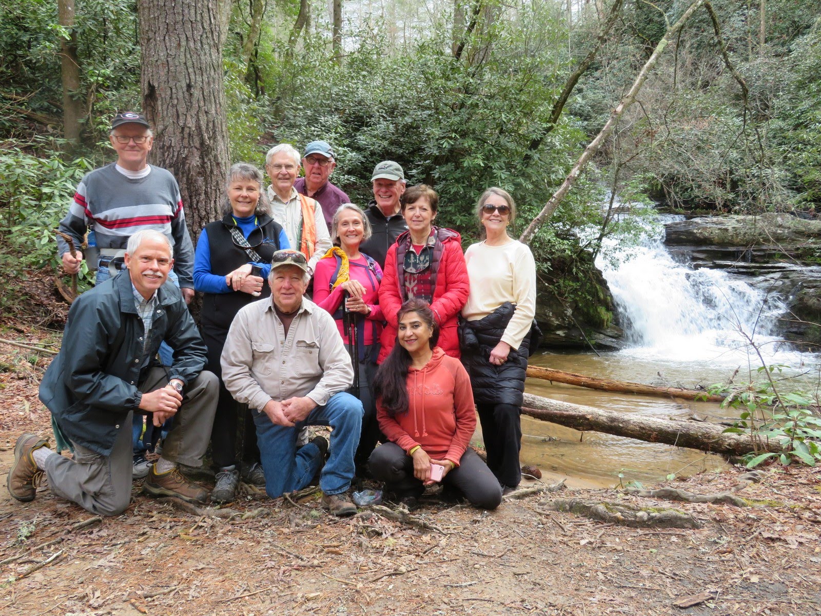
Today’s hike was on the Chattooga River Trail starting on the SC side of the Highway 28 bridge on the border of GA/SC. HIKERS – Mike Bell, Jenny Bell, Renee Corbett, Bob Drake, Jo Drake, Tim Hale, Dick Metzgar, Trushna Nadig, Terre Pratt, Tony Presley, Vic Robson. TRAIL INFO. – Parking on the SC side of Highway 28 bridge, we took the lower trail along the Chattooga River instead of the upper trail which veers away from the river. The two trails come back together after a couple of miles and continues on to Lick Log Creek which features two nice waterfalls. Licklog Falls and Pigpen Falls. The lower trail has lots of flat walking along the river. On the way back, we took the upper trail making it a loop hike. The total round trip hike today was 9.2 miles – moderately strenuous. Directions: Directions: The Highway 28 (Russell) Bridge is located on SC highway 28 between Walhalla, SC and Highlands, NC. The Chattooga River is the border river of GA/SC. From Clayton, GA take Warwoman Road and drive to the intersection of Highway 28 and turn right and go to the SC side of the 28 bridge and the parking lot is on the left. Approx. 14-15 miles from Clayton. Another great day for a hike! Cloudy and cool. Temperatures in the low 50’s F warming into the low 60’s. Total distance – 8.6 mi. BLOOMING PLANTS: Bloodroot, Halberd-Leaf Yellow Violet, Round Leaf Yellow Violet, Blue Violet, Sweet White Violet, Trailing Arbutus, Robins Plantain, Toadshade Trillium (red and yellow), Yellowroot, Hepatica, Rue Anemone. BIRDS IDENTIFIED: Pileated Woodpecker, Junco, Cardinal, Blue Jay, Tufted Titmouse, Towhee, Downy Woodpecker.
SEE ALL WILDFLOWERS FROM THIS HIKE! (CLICK HERE) |

