April 2, 2019
|
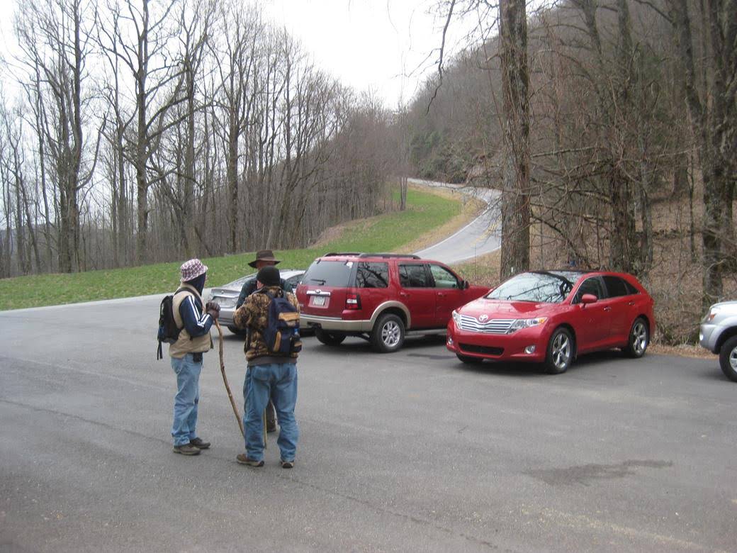
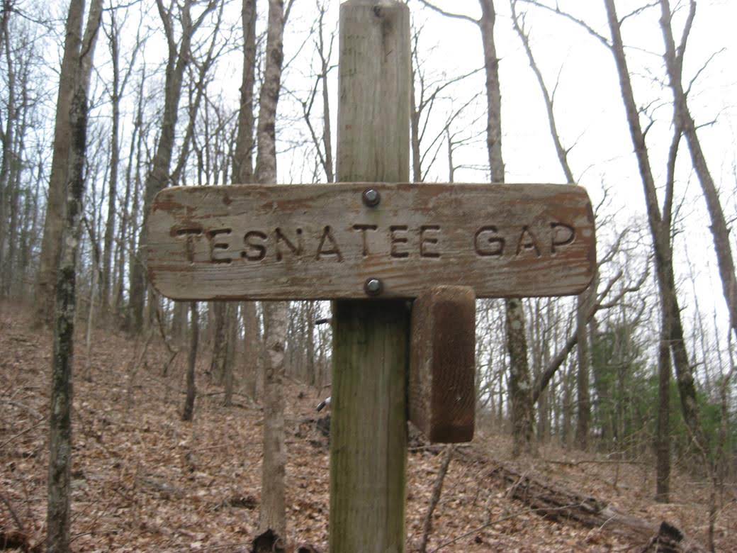
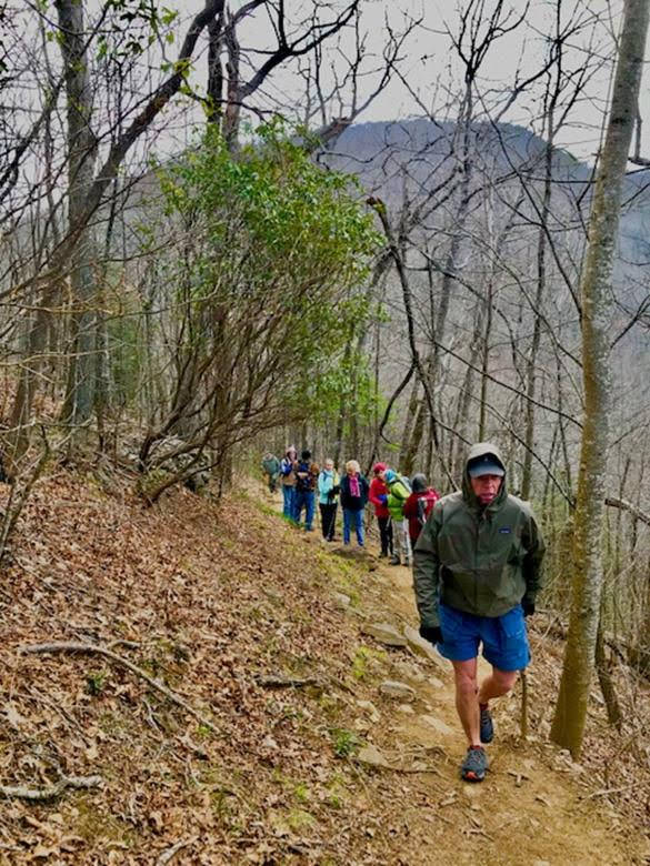
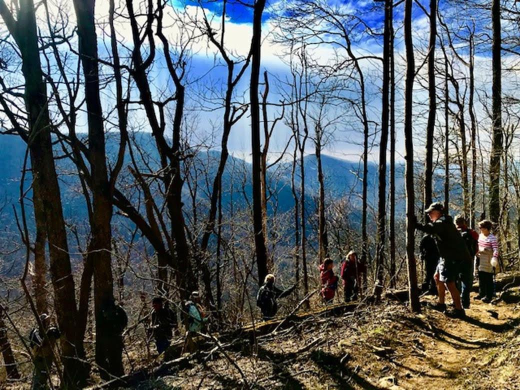
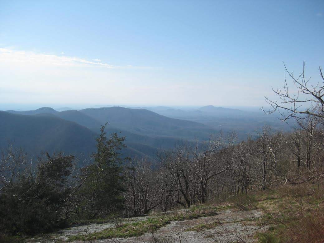
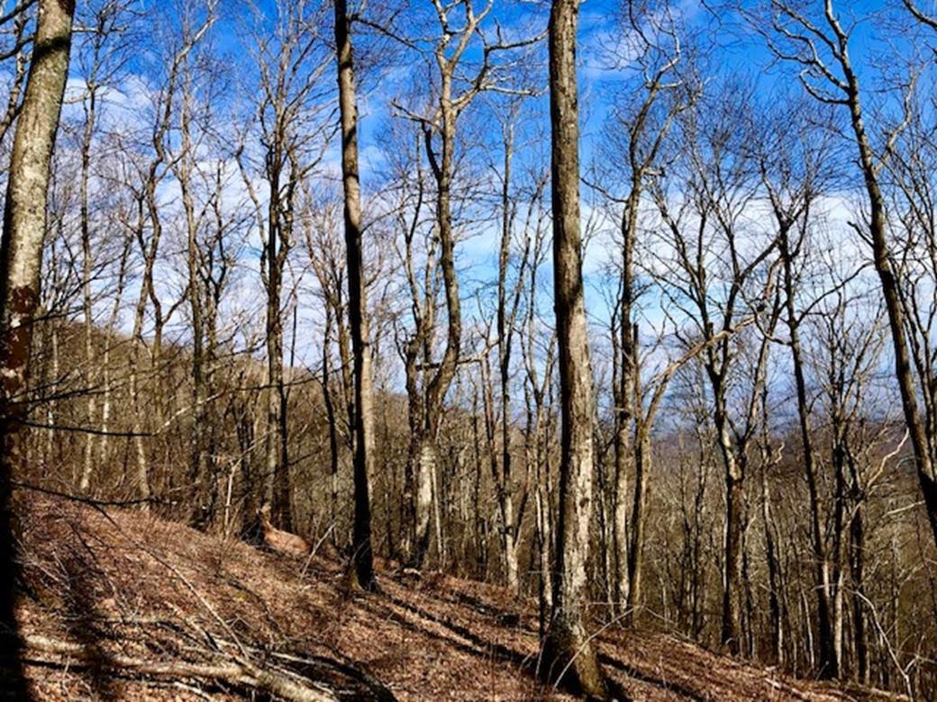
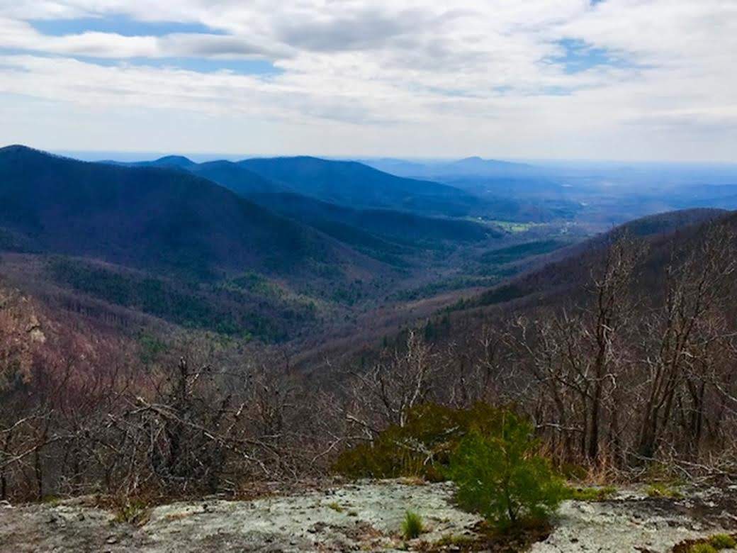
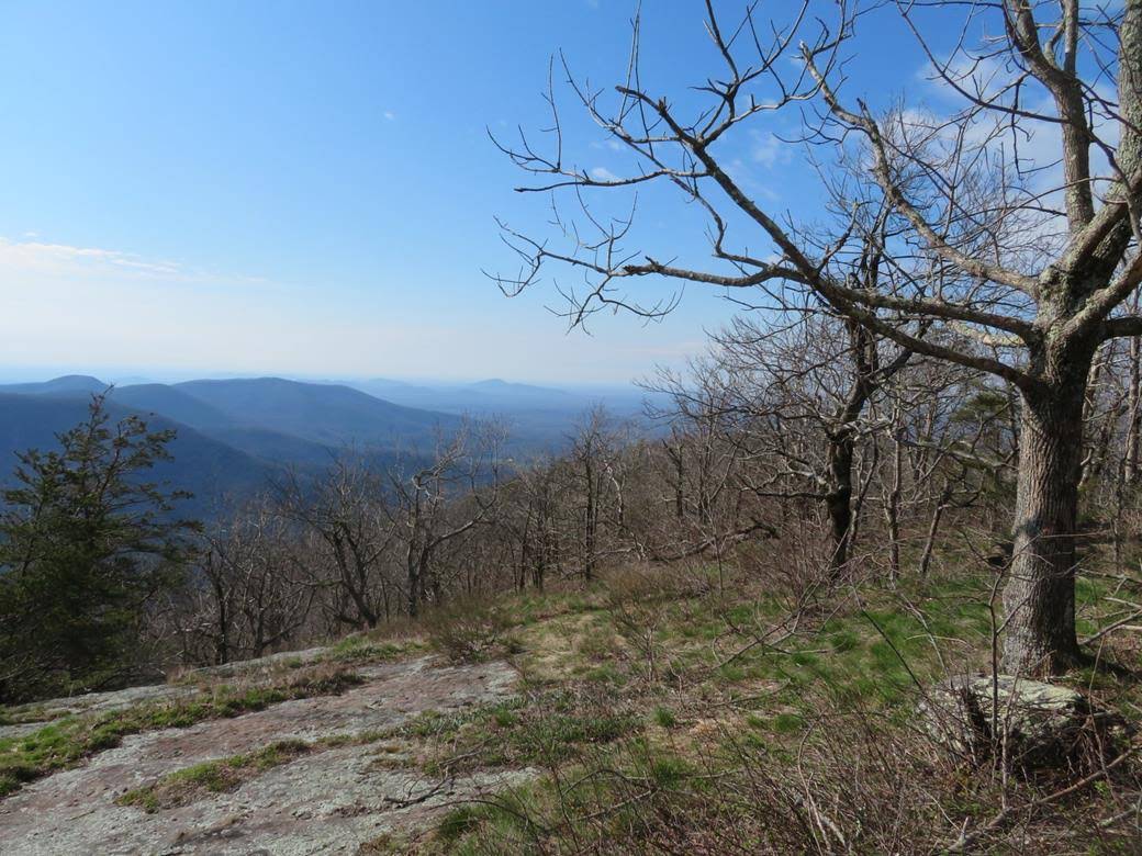
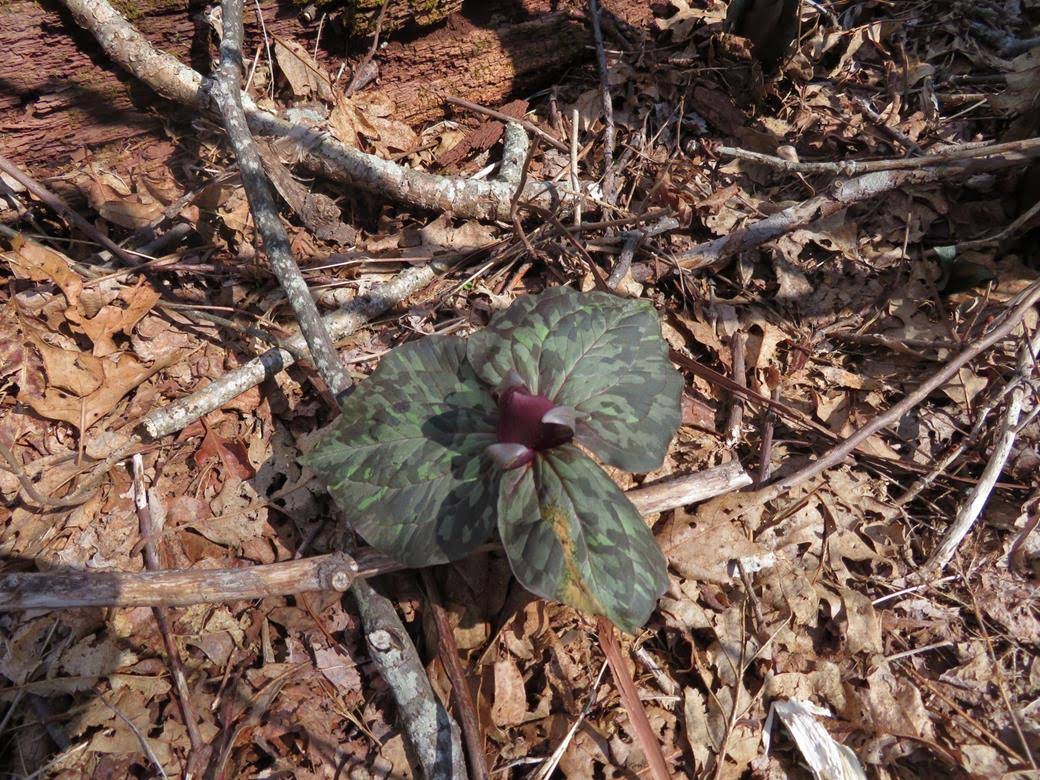
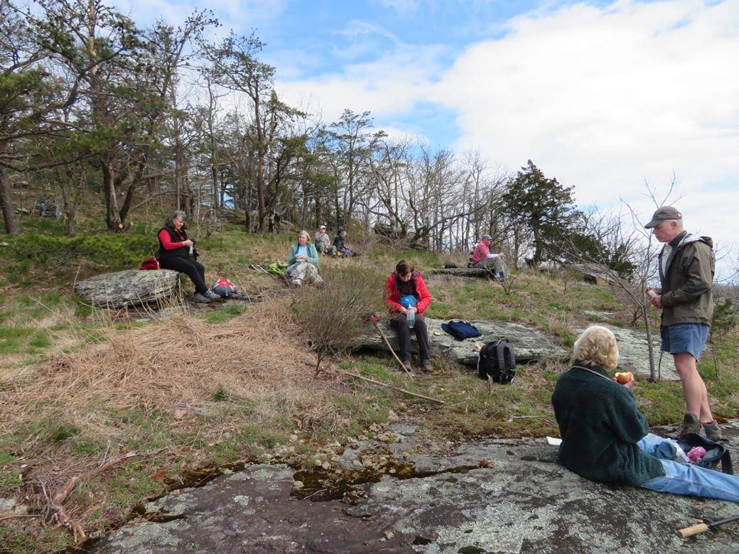
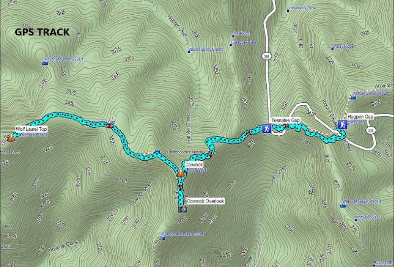
Today’s hike was on the Appalachian Trail in Union County GA . We hiked from Tesnatee Gap to Cowrock Mountain then to Wolf Laurel Top and back. Total of 5.1 miles HIKERS: Jenny Bell, Mike Bell, Joe Collins, Ray Clark, Renee Corbett, Bob Drake, Jo Drake, Angela Evans, Stephen Gales, Tim Hale, Bob Magee, Beth McDonald, Dick Metzgar, Trushna Nadig, Terre Pratt, and Vic Robson. TRAIL INFORMATION – This section of the A.T. always offers breathtaking views from Cow Rock Mountain and Wolf Laurel Top. The very best views are on a side trail to the back side of Cow Rock to a large rock lookoff. The first part of the hike takes you up a steep climb of one mile to the summit of Cow Rock Mountain then a less challenging walk over to Wolf Laurel Top. We rate the hike strenuous due to elevation changes but the views make it more than worth the effort. Directions: Take GA 75 north from Helen for 1.5 miles. Turn left onto GA 356(75 Alternate) and travel 2.3 miles to the Richard B. Russell Scenic Highway (GA 348). Turn right and travel about 9.5 miles to Tessnatee Gap. The parking lot is on the left. Another great day for a hike! Cloudy and chilly early with snow flurries then clearing and warmer later, with temperatures ranging from mid 30’s to mid 50’s degrees F. Hiking distance – 5.1 miles. WILDFLOWERS IN BLOOM: Bloodroot, Blue Violets, Halberd-leaf Violet, Red Toadshade Trillium, Star Chickweed, Bluets.
|

