7/22/03
| hikers – John Bellamy, Terry Doyle, Jack Jacobi, Bob Magee, Wayne Miller, Bob Presley, Tony Presley,Dan Ross, Jack Slaton, Bob Thompson,
Trail access – Burrell’s Ford Campground parking lot. Started on the Foothills Trail and connected with the Chattooga River and hiked up to Ellicott Rock which is the common border point for GA, SC and NC. (8.8 mi. round trip) Another beautiful hiking day! Mostly Cloudy – a couple of very brief showers – temperature ranged from 70-80 degrees F.. Wildflowers viewed – Rhododendrun M., Tall Bluet, Hawkweed, Black-eyed Susan, Coreopsis, Pinesap, Heal-all, among others. Fauna identified – Wild Hogs, Toads, Salamanders, Pileated Woodpecker, White breasted Nuthatch, Towhee, Carolina Wren.. |
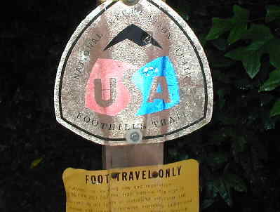 Foothills Trail marker near Burrell’s Ford |
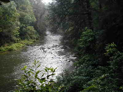 Much of the hike follows the Beautiful Chattooga River. |
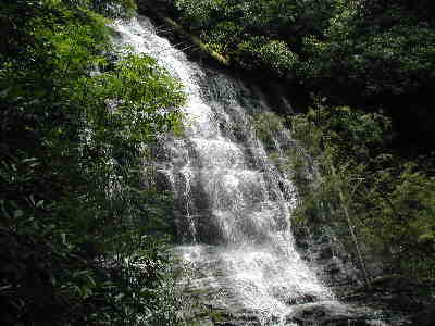 A short side trail leads up to Spoon Auger Falls. |
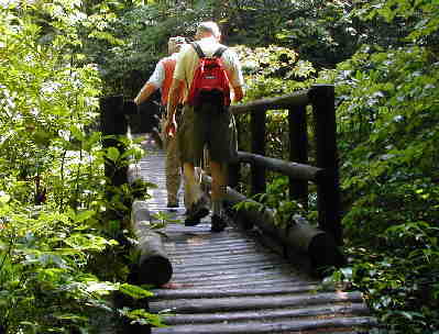 Crossing the bridge over the East Fork of the Chattooga. |
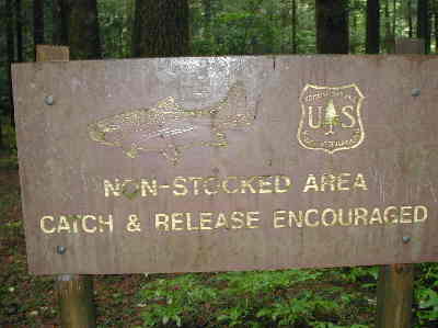 Trout fishing sign at the Chattooga and East Fork junction. |
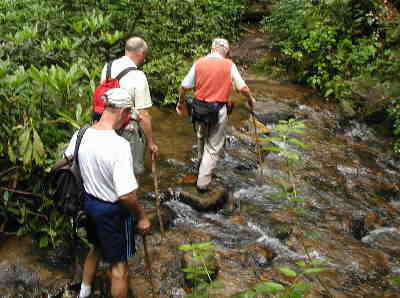 A tricky stream crossing on the way up to Ellicot Rock. |
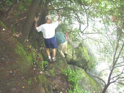 Very carefully scrambling down the bank to see Ellicott Rock. |
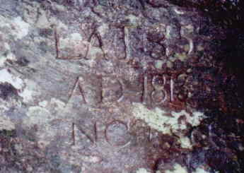 Ellicott Rock (Commissioner’s Rock) original survey mark for the border of NC / SC/ GA. Inscription reads LAT 35, AD 1813, NC/SC. |
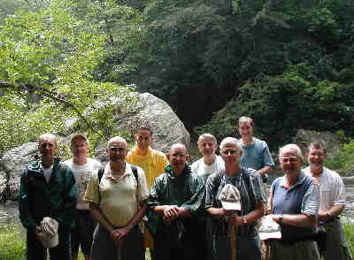 Our lunch spot about 1/4 mile below Ellicott Rock. (l-r) Terry Doyle, Tony Presley, Jack Jacobi, Bob Thompson, Wayne Miller, John Bellamy, Jack Slaton, Dan Ross, Bob Presley, and Bob Magee. |